UN/LOCODE hub · France
FRFLV
Fontenay-le-Vicomte
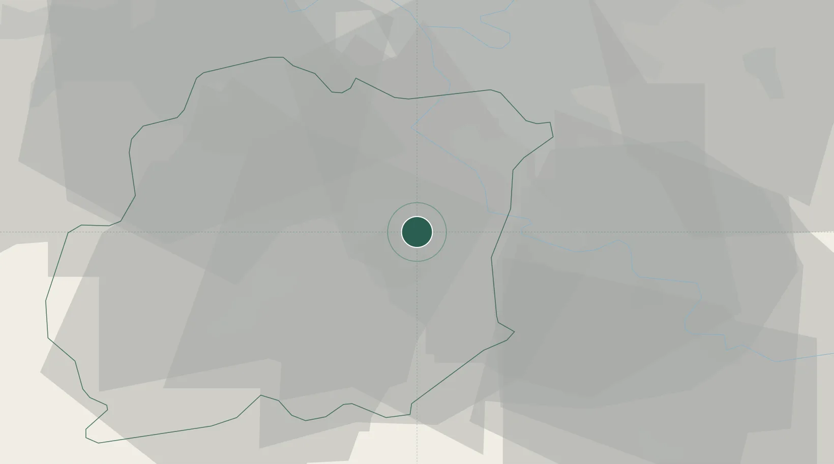
48.5500°, 2.4000°
928
Population
2
Transport functions
Transport Functions
Rail
Road
Hub Profile
Place type
Populated place
Region
Île-de-France
Population
928
Time zone
Europe/Paris
Elevation
65 m
Location
Nearby Logistics Neighbours
Cities
- 1Villabé5 km
- 2Leudeville6 km
- 3Morsang-sur-Seine8 km
- 4Marolles-en-Hurepoix8 km
- 5Évry8 km
Ports
- 1Port Of Rouen140 km
- 2Dieppe181 km
- 3Le Treport185 km
- 4Honfleur186 km
- 5Saint-Valery-Sur-Somme190 km
Airports
Trade Zones
- 1ZFU Corbeil-Evry6 km
- 2ZFU Grigny Viry-Châtillon14 km
- 3ZFU Epinay-sous-Sénart17 km
- 4ZFU Melun18 km
- 5ZFU Choisy-le-Roi et Orly24 km
DatabookThe Record of Consolidated Knowledge
France beyond logistics?