UN/LOCODE hub · France
FRZFE
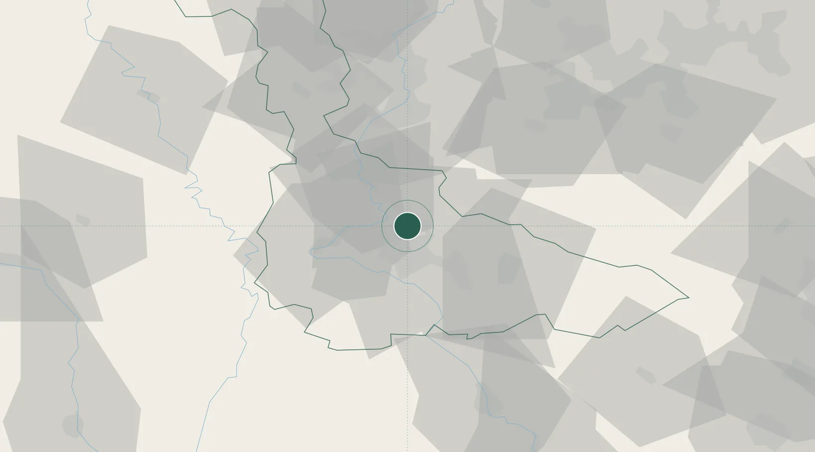
Lay-Saint-Christophe
48.7500°, 6.2000°
2,681
Population
3
Transport functions
Transport Functions
Rail
Road
Multimodal
Hub Profile
Place type
Populated place
Region
Grand Est
Population
2,681
Time zone
Europe/Paris
Elevation
204 m
Location
Nearby Logistics Neighbours
Cities
- 1Eulmont2 km
- 2Champigneulles3 km
- 3Frouard5 km
- 4Nancy6 km
- 5Pompey6 km
Airports
Trade Zones
- 1ZFU Maxéville, Laxou, et de Nancy6 km
- 2ZFU Metz40 km
- 3ZFU Woippy-Metz45 km
- 4ZFU La Cité Behren-lès-Forbach71 km
- 5ZFU Saint-Dizier99 km
DatabookThe Record of Consolidated Knowledge
France beyond logistics?