Transport Functions
Port
Rail
Airport
Postal
Hub Profile
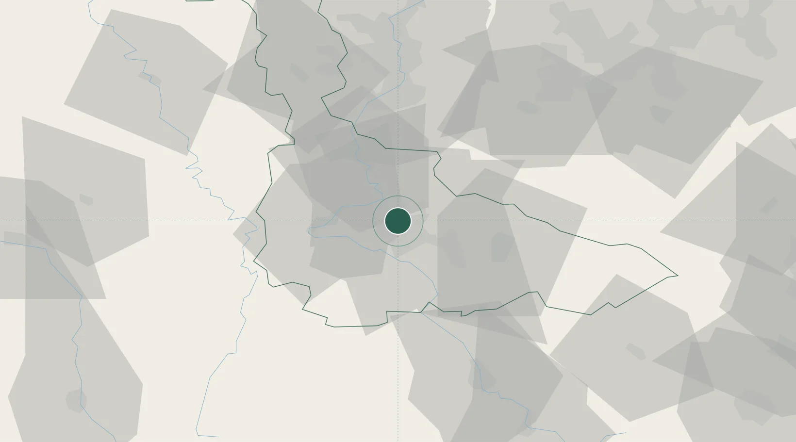
Place type
Provincial seat
Region
Grand Est
Population
105,058
Time zone
Europe/Paris
Elevation
212 m
Location
Nearby Logistics Neighbours
Cities
- 1Champigneulles4 km
- 2Eulmont4 km
- 3Houdemont6 km
- 4Lay-Saint-Christophe6 km
- 5Heillecourt6 km
Airports
Trade Zones
- 1ZFU Maxéville, Laxou, et de Nancy2 km
- 2ZFU Metz45 km
- 3ZFU Woippy-Metz50 km
- 4ZFU La Cité Behren-lès-Forbach75 km
- 5ZFU Saint-Dizier97 km
DatabookThe Record of Consolidated Knowledge
France beyond logistics?