Transport Functions
Multimodal
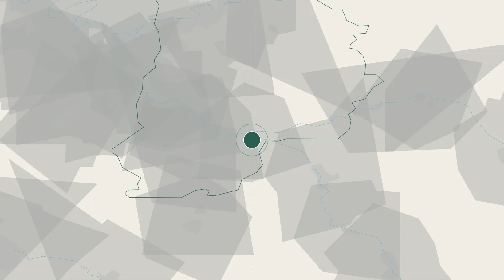
Hub Profile
Place type
Populated place
Region
Île-de-France
Population
2,842
Time zone
Europe/Paris
Elevation
60 m
Location
Nearby Logistics Neighbours
Cities
- 1Montereau-Fault-Yonne4 km
- 2Varennes-sur-Seine5 km
- 3Île-Molène6 km
- 4Écuelles13 km
- 5Machault14 km
Ports
- 1Port Of Rouen185 km
- 2Dieppe222 km
- 3Le Treport223 km
- 4Saint-Valery-Sur-Somme225 km
- 5Honfleur234 km
Airports
- 1Melun-Villaroche Airfield35 km
- 2Paris-Orly Airport60 km
- 3Auxerre Branches airport69 km
- 4Vélizy-Villacoublay Air Base73 km
- 5Troyes-Barberey Airport77 km
Trade Zones
- 1ZFU Montereau-Fault-Yonne4 km
- 2ZFU Sens29 km
- 3ZFU Melun32 km
- 4ZFU Corbeil-Evry48 km
- 5ZFU Epinay-sous-Sénart51 km
DatabookThe Record of Consolidated Knowledge
France beyond logistics?