UN/LOCODE hub · France
FRVUA
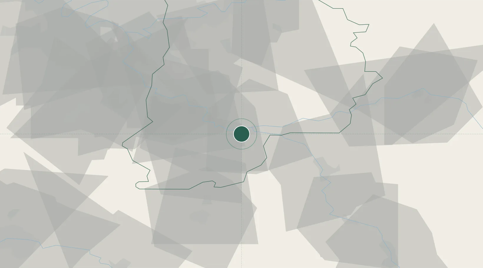
Varennes-sur-Seine
48.3667°, 2.9167°
3,494
Population
2
Transport functions
Transport Functions
Rail
Road
Hub Profile
Place type
Populated place
Region
Île-de-France
Population
3,494
Time zone
Europe/Paris
Elevation
52 m
Location
Nearby Logistics Neighbours
Cities
- 1Montereau-Fault-Yonne2 km
- 2Cannes-Écluse5 km
- 3Écuelles8 km
- 4Île-Molène11 km
- 5Thomery11 km
Ports
- 1Port Of Rouen181 km
- 2Dieppe219 km
- 3Le Treport220 km
- 4Saint-Valery-Sur-Somme223 km
- 5Honfleur229 km
Airports
- 1Melun-Villaroche Airfield32 km
- 2Paris-Orly Airport56 km
- 3Vélizy-Villacoublay Air Base69 km
- 4Auxerre Branches airport72 km
- 5Toussus-le-Noble Airport73 km
Trade Zones
- 1ZFU Montereau-Fault-Yonne3 km
- 2ZFU Melun28 km
- 3ZFU Sens32 km
- 4ZFU Corbeil-Evry44 km
- 5ZFU Epinay-sous-Sénart47 km
DatabookThe Record of Consolidated Knowledge
France beyond logistics?