Transport Functions
Port
Hub Profile
Place type
Populated place
Region
Brittany
Time zone
Europe/Paris
Elevation
9 m
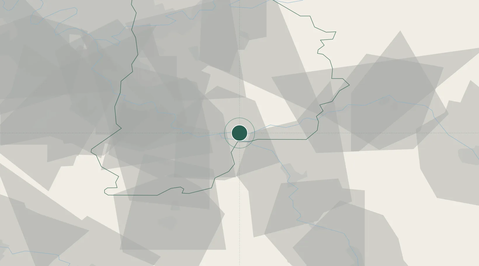
Location
Nearby Logistics Neighbours
Cities
- 1Cannes-Écluse6 km
- 2Montereau-Fault-Yonne9 km
- 3Varennes-sur-Seine11 km
- 4Mouy-sur-Seine14 km
- 5Les Ormes-sur-Voulzie15 km
Ports
- 1Port Of Rouen186 km
- 2Le Treport222 km
- 3Dieppe223 km
- 4Saint-Valery-Sur-Somme224 km
- 5Honfleur236 km
Airports
- 1Melun-Villaroche Airfield36 km
- 2Paris-Orly Airport61 km
- 3Auxerre Branches airport70 km
- 4Troyes-Barberey Airport72 km
- 5Vélizy-Villacoublay Air Base75 km
Trade Zones
- 1ZFU Montereau-Fault-Yonne8 km
- 2ZFU Sens28 km
- 3ZFU Melun34 km
- 4ZFU Corbeil-Evry51 km
- 5ZFU Epinay-sous-Sénart52 km
DatabookThe Record of Consolidated Knowledge
France beyond logistics?