Transport Functions
Road
Multimodal
Hub Profile
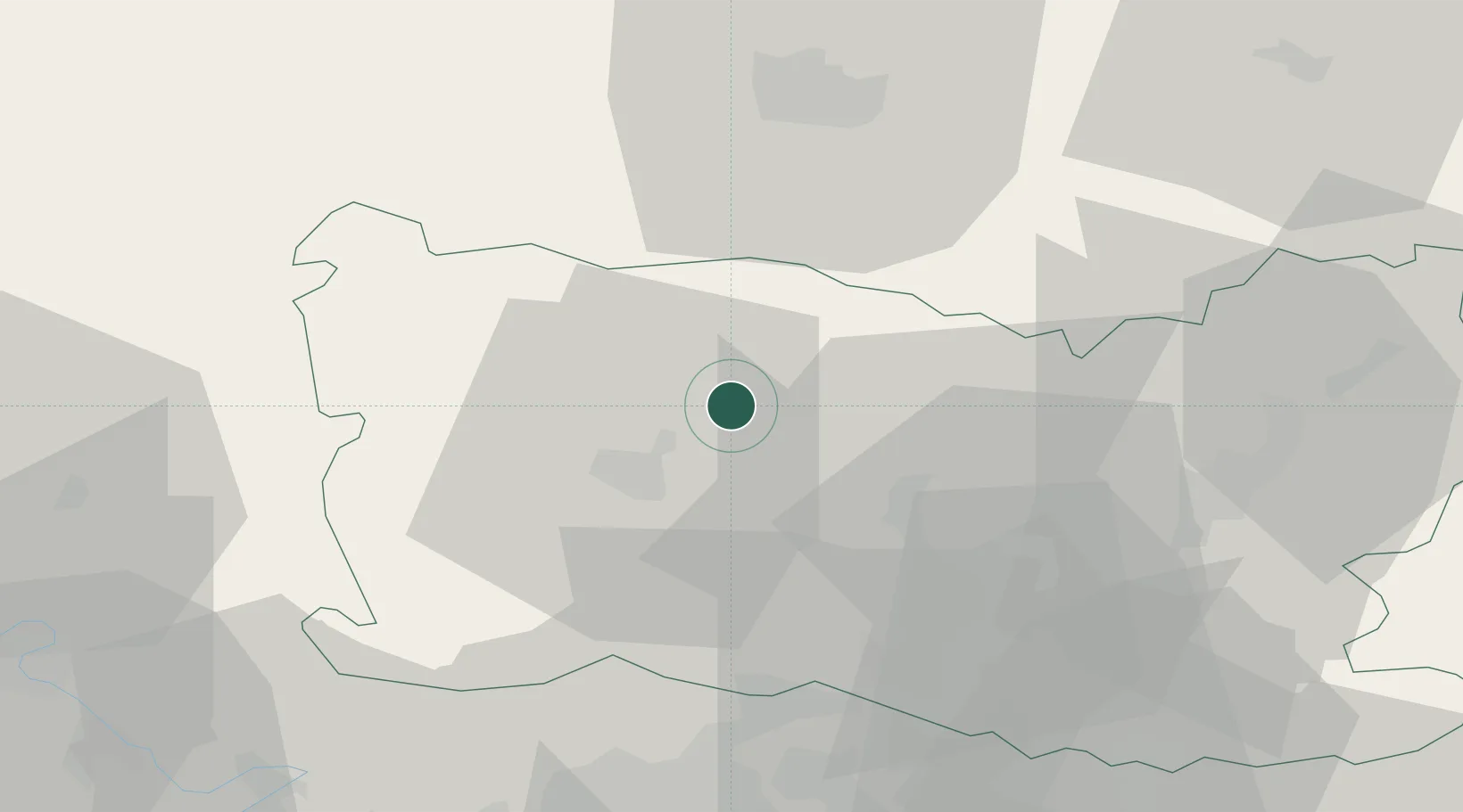
Place type
Populated place
Region
Hauts-de-France
Population
218
Time zone
Europe/Paris
Elevation
118 m
Location
Nearby Logistics Neighbours
Cities
- 1Tillé9 km
- 2Hardivillers11 km
- 3Beauvais13 km
- 4Saint-Just-en-Chaussée16 km
- 5Berthecourt17 km
Ports
- 1Port Of Rouen83 km
- 2Saint-Valery-Sur-Somme86 km
- 3Le Treport86 km
- 4Dieppe94 km
- 5Fecamp136 km
Airports
Trade Zones
- 1ZFU Beauvais14 km
- 2ZFU Creil et Montataire32 km
- 3ZFU Amiens41 km
- 4ZFU Villiers-le-Bel58 km
- 5ZFU Garges-lès-Gonesse et Sarcelles62 km
DatabookThe Record of Consolidated Knowledge
France beyond logistics?