Transport Functions
Port
Hub Profile
Place type
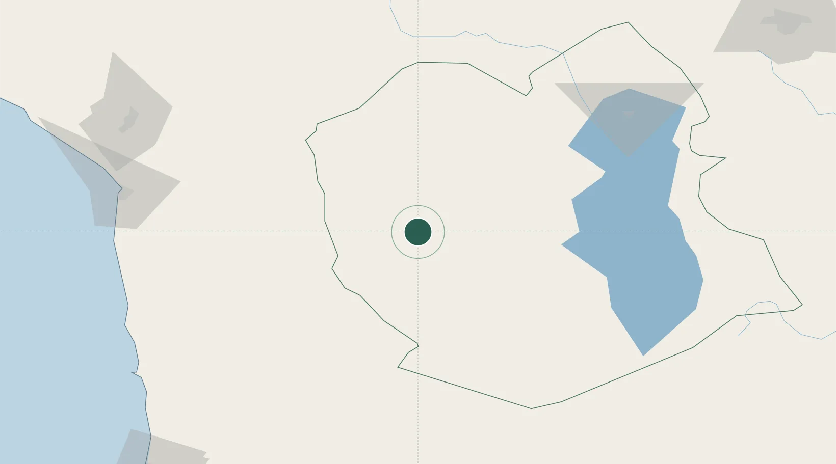
Populated place
Region
La Altagracia Province
Time zone
America/Santo_Domingo
Elevation
11 m
Location
Nearby Logistics Neighbours
Cities
- 1Oruro164 km
- 2General Lagos172 km
- 3Arica198 km
- 4Pisagua208 km
- 5Guaqui241 km
Ports
- 1Rada De Arica200 km
- 2Iquique244 km
- 3Caleta Patillos290 km
- 4Puerto Ilo331 km
- 5Tocopilla418 km
Airports
Trade Zones
DatabookThe Record of Consolidated Knowledge
Dominican Republic beyond logistics?