Medium airport · Bolivia

Capitan Nicolas Rojas AirportSLPO
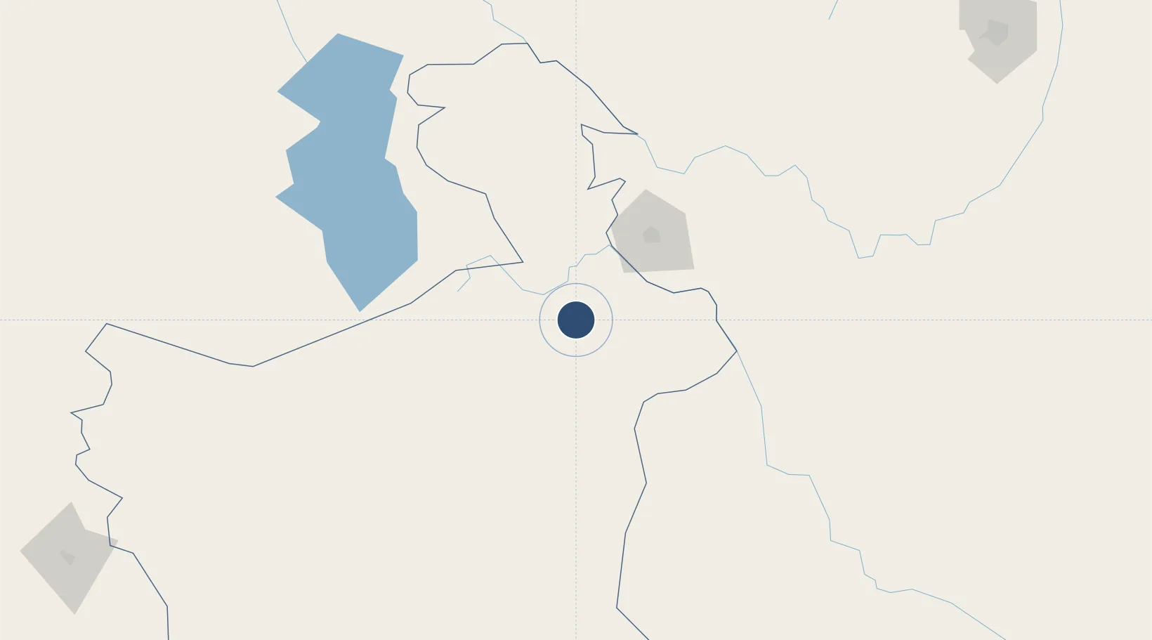
-19.5433°, -65.7237°
9,130 ft
Longest runway
1
Runways
12,922 ft
Elevation

Runway & Layout

Capitan Nicolas Rojas Airport runway & taxiway layout
Runway & taxiway layout — OpenStreetMap (ODbL) / OurAirports

Radio Frequencies

TWR
118.3 MHz
POTOSI TWR
RDO
662.2 MHz
POTOSI RDO
OurAirports

Navaids

POI NDB Potosi 400 kHz
OurAirports

Runways · 1

RunwayDimensions SurfaceTrue headingLit
06/24 9,130 × 98ft Asphalt 056°
OurAirports

Airport Specifications

IATA code
POI
OurAirports
ICAO code
SLPO
OurAirports
Airport class
Medium airport
OurAirports
Scheduled service
No
OurAirports
Runway surface
Asphalt
OurAirports
Served city
Potosí
OurAirports

Location

Location of SLPO
Natural Earth 10m (public domain) · Potosí · SLPO · -19.54, -65.72GoogleOSMYandex

Nearby Logistics Neighbours

Airports
  1. 1Alcantarí International Airport69 km
  2. 2Juana Azurduy de Padilla Air Force Base75 km
  3. 3Uyuni Joya Andina Airport155 km
  4. 4Juan Mendoza International Airport227 km
  5. 5Jorge Wilsterman International Airport241 km
Nearest neighbours — logibook spatial index (haversine) over the source coordinates
Cities
  1. 1Sucre75 km
  2. 2Aiquile164 km
  3. 3Oruro228 km
  4. 4Sipe Sipe243 km
  5. 5Villazón283 km
Nearest neighbours — logibook spatial index (haversine) over the source coordinates
Ports
  1. 1Iquique470 km
  2. 2Caleta Patillos486 km
  3. 3Rada De Arica499 km
  4. 4Tocopilla547 km
  5. 5Mejillones631 km
Nearest neighbours — logibook spatial index (haversine) over the source coordinates
Trade Zones
  1. 1Oruro Commercial and Industrial Free Zone218 km
  2. 2Zona Franca Oruro229 km
  3. 3Winner Commercial and Industrial Free Zone337 km
  4. 4Zofrapat Commercial and Industrial Free Zone344 km
  5. 5Santa Cruz Commercial and Industrial Free Zone349 km
Nearest neighbours — logibook spatial index (haversine) over the source coordinates
DatabookThe Record of Consolidated Knowledge
Bolivia beyond logistics?
Browse databook

All Sources

AirportsOurAirports
Public domain
Portsthe NGA World Port Index
Public domain (US gov)
LocationsUN/LOCODE
UN/LOCODE — free
Trade Zonesthe World Bank SEZ database
CC BY 4.0
Trade ZonesOpen Zone Map
CC BY
InfrastructureOpenStreetMap
ODbL 1.0
← Bolivia airports