Seaport · Equatorial Guinea
LubaGQLUB
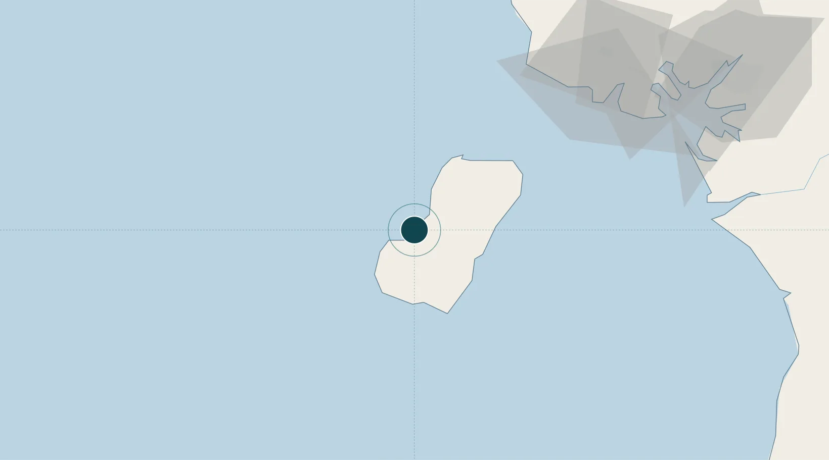
3.5000°, 8.5667°
18.6 m
Channel depth
13.7
Port liner connectivity
Channel & Berth Profile
Pilotage, Tugs & Services
Pilotage compulsoryYES
Pilotage availableYES
Tug assistanceYES
Shore powerYES
Potable waterYES
Diesel bunkersYES
MedicalYES
Garbage disposalYES
Facilities & Capabilities
Container—
Ro-Ro—
Liquid bulk—
Dry bulk—
Oil terminal—
Break bulk—
Dry dock—
RepairsNO
BunkeringYES
Rail link—
Dangerous cargo—
ISPS security—
Harbour Specifications
Harbour size
Very Small
Harbour type
Coastal (Natural)
Shelter
Fair
Water body
Gulf of Guinea; North Atlantic Ocean
Tidal range
1.4 m
Pilotage
Yes
Liner Connectivity
13.7
PLSCI
Port Liner Shipping Connectivity Index for Luba, as published by UNCTAD for the latest available quarter. Higher values indicate stronger scheduled liner-shipping integration.
Shown relative to the highest per-port PLSCI in the dataset (1,657.9).
Location
Nearby Logistics Neighbours
Ports
- 1Punta Europa Terminal36 km
- 2Malabo37 km
- 3Serpentina Terminal63 km
- 4Moudi Marine Terminal69 km
- 5Kole Oil Terminal83 km
Cities
- 1Punta Europa Terminal36 km
- 2Malabo37 km
- 3Zafiro Terminal59 km
- 4Serpentina Terminal63 km
- 5Moudi Terminal69 km
Airports
- 1Malabo International Airport33 km
- 2Tiko Airport110 km
- 3Douala International Airport140 km
- 4Akwa Ibom International Airport161 km
- 5Margaret Ekpo International Airport166 km
Trade Zones
- 1Luba Freeport4 km
- 2K5 Oil Centre35 km
- 3Ibom Industrial City Free Zone121 km
- 4Bonaberi-Douala Industrial Zone139 km
- 5Bassa-Douala Industrial Zone144 km
DatabookThe Record of Consolidated Knowledge
Equatorial Guinea beyond logistics?