Export Processing Zone · El Salvador

Export Salva Free Zone Active
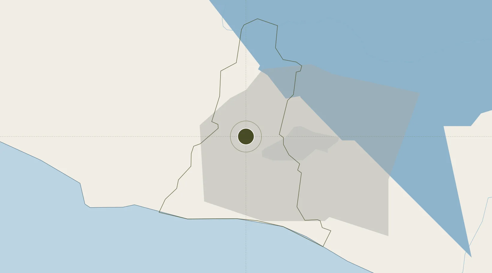
13.7320°, -89.3582°
70 ha
Zone area
57.4 km
Nearest port
26.0 km
Nearest airport

Gateway access

Nearest neighbours — logibook spatial index (haversine) over the source coordinates

Zone profile

Zone type
Export Processing Zone
Open Zone Map
Region
La Libertad
Open Zone Map
Status
Active
Open Zone Map
Management
Private
Open Zone Map
Operator
Grupo Hilasal
Open Zone Map
Legal framework
Law of Industrial and Marketing Free Zones
Open Zone Map

Location

Location of ozm-1879
Natural Earth 10m (public domain) · La Libertad · ozm-1879 · 13.73, -89.36GoogleOSMYandex

Nearby Logistics Neighbours

Ports
  1. 1Acajutla57 km
  2. 2Puerto Quetzal157 km
  3. 3La Union171 km
  4. 4Puerto De Hencan210 km
  5. 5Santo Tomas De Castilla233 km
Nearest neighbours — logibook spatial index (haversine) over the source coordinates
Airports
  1. 1Ilopango International Airport26 km
  2. 2El Salvador International Airport Saint Óscar Arnulfo Romero y Galdámez46 km
  3. 3La Aurora International Airport158 km
  4. 4San José Airport161 km
  5. 5Palmerola International Airport201 km
Nearest neighbours — logibook spatial index (haversine) over the source coordinates
Cities
  1. 1Lourdes4 km
  2. 2Sitio del Nino8 km
  3. 3San Salvador10 km
  4. 4Sacacoyo12 km
  5. 5Antiguo Cuscatlán15 km
Nearest neighbours — logibook spatial index (haversine) over the source coordinates
Trade Zones
  1. 1American Park Free Zone11 km
  2. 2Zona Franca Santa Tecla12 km
  3. 3El Pedregal Free Zone13 km
  4. 4Zona Franca Sam-Li16 km
  5. 5San Marcos Free Zone20 km
Nearest neighbours — logibook spatial index (haversine) over the source coordinates
DatabookThe Record of Consolidated Knowledge
El Salvador beyond logistics?
Browse databook

All Sources

Trade ZonesOpen Zone Map
CC BY
Portsthe NGA World Port Index
Public domain (US gov)
AirportsOurAirports
Public domain
LocationsUN/LOCODE
UN/LOCODE — free
← El Salvador trade zones