Transport Functions
Road
Multimodal
Hub Profile
Place type
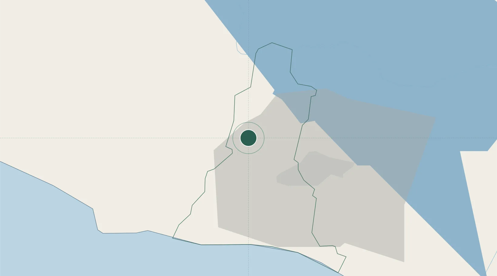
Populated place
Region
La Libertad Department
Time zone
America/El_Salvador
Elevation
449 m
Logistics facilities
1
Location
Nearby Logistics Neighbours
Cities
- 1Lourdes5 km
- 2Sacacoyo11 km
- 3San Salvador11 km
- 4Apopa21 km
- 5Ayutuxtepeque22 km
Ports
- 1Acajutla57 km
- 2Puerto Quetzal153 km
- 3La Union176 km
- 4Puerto De Hencan215 km
- 5Santo Tomas De Castilla227 km
Airports
Trade Zones
- 1American Park Free Zone3 km
- 2Export Salva Free Zone8 km
- 3Zona Franca Sam-Li9 km
- 4Zona Franca Pipil17 km
- 5El Pedregal Free Zone20 km
DatabookThe Record of Consolidated Knowledge
El Salvador beyond logistics?