Transport Functions
Multimodal
Hub Profile
Place type
Populated place
Region
La Libertad Department
Time zone
America/El_Salvador
Elevation
565 m
Logistics facilities
3
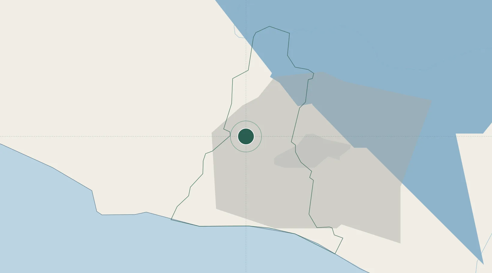
Location
Nearby Logistics Neighbours
Cities
- 1Sitio del Nino5 km
- 2Sacacoyo8 km
- 3San Salvador12 km
- 4Antiguo Cuscatlán20 km
- 5Nuevo Cuscatlan20 km
Ports
- 1Acajutla55 km
- 2Puerto Quetzal153 km
- 3La Union175 km
- 4Puerto De Hencan214 km
- 5Santo Tomas De Castilla232 km
Airports
Trade Zones
- 1Export Salva Free Zone4 km
- 2American Park Free Zone7 km
- 3Zona Franca Sam-Li14 km
- 4Zona Franca Santa Tecla16 km
- 5El Pedregal Free Zone18 km
DatabookThe Record of Consolidated Knowledge
El Salvador beyond logistics?