Free Trade Zone · El Salvador

Zona Franca Santa Tecla Active
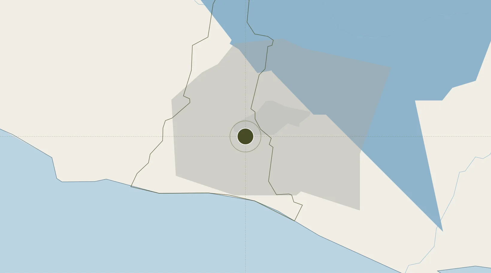
13.6582°, -89.2777°
4 ha
Zone area
64.2 km
Nearest port
17.7 km
Nearest airport

Gateway access

Nearest neighbours — logibook spatial index (haversine) over the source coordinates

Zone profile

Zone type
Free Trade Zone
Open Zone Map
Region
La Libertad
Open Zone Map
Status
Active
Open Zone Map
Management
Private
Open Zone Map
Operator
Zona Franca Santa Tecla
Open Zone Map
Legal framework
Law of Industrial and Marketing Free Zones
Open Zone Map

Location

Location of ozm-1881
Natural Earth 10m (public domain) · La Libertad · ozm-1881 · 13.66, -89.28GoogleOSMYandex

Nearby Logistics Neighbours

Ports
  1. 1Acajutla64 km
  2. 2La Union160 km
  3. 3Puerto Quetzal167 km
  4. 4Puerto De Hencan200 km
  5. 5Santo Tomas De Castilla238 km
Nearest neighbours — logibook spatial index (haversine) over the source coordinates
Airports
  1. 1Ilopango International Airport18 km
  2. 2El Salvador International Airport Saint Óscar Arnulfo Romero y Galdámez34 km
  3. 3La Aurora International Airport170 km
  4. 4San José Airport171 km
  5. 5Palmerola International Airport196 km
Nearest neighbours — logibook spatial index (haversine) over the source coordinates
Cities
  1. 1Nuevo Cuscatlan4 km
  2. 2Antiguo Cuscatlán5 km
  3. 3San Marcos11 km
  4. 4Santa Tecla12 km
  5. 5Ayutuxtepeque12 km
Nearest neighbours — logibook spatial index (haversine) over the source coordinates
Trade Zones
  1. 1El Pedregal Free Zone7 km
  2. 2San Marcos Free Zone10 km
  3. 3Export Salva Free Zone12 km
  4. 4Zona Franca Santo Tomás14 km
  5. 5Zona Franca San Bartolo19 km
Nearest neighbours — logibook spatial index (haversine) over the source coordinates
DatabookThe Record of Consolidated Knowledge
El Salvador beyond logistics?
Browse databook

All Sources

Trade ZonesOpen Zone Map
CC BY
Portsthe NGA World Port Index
Public domain (US gov)
AirportsOurAirports
Public domain
LocationsUN/LOCODE
UN/LOCODE — free
← El Salvador trade zones