Free Trade Zone · El Salvador

Zona Franca Sam-Li Active
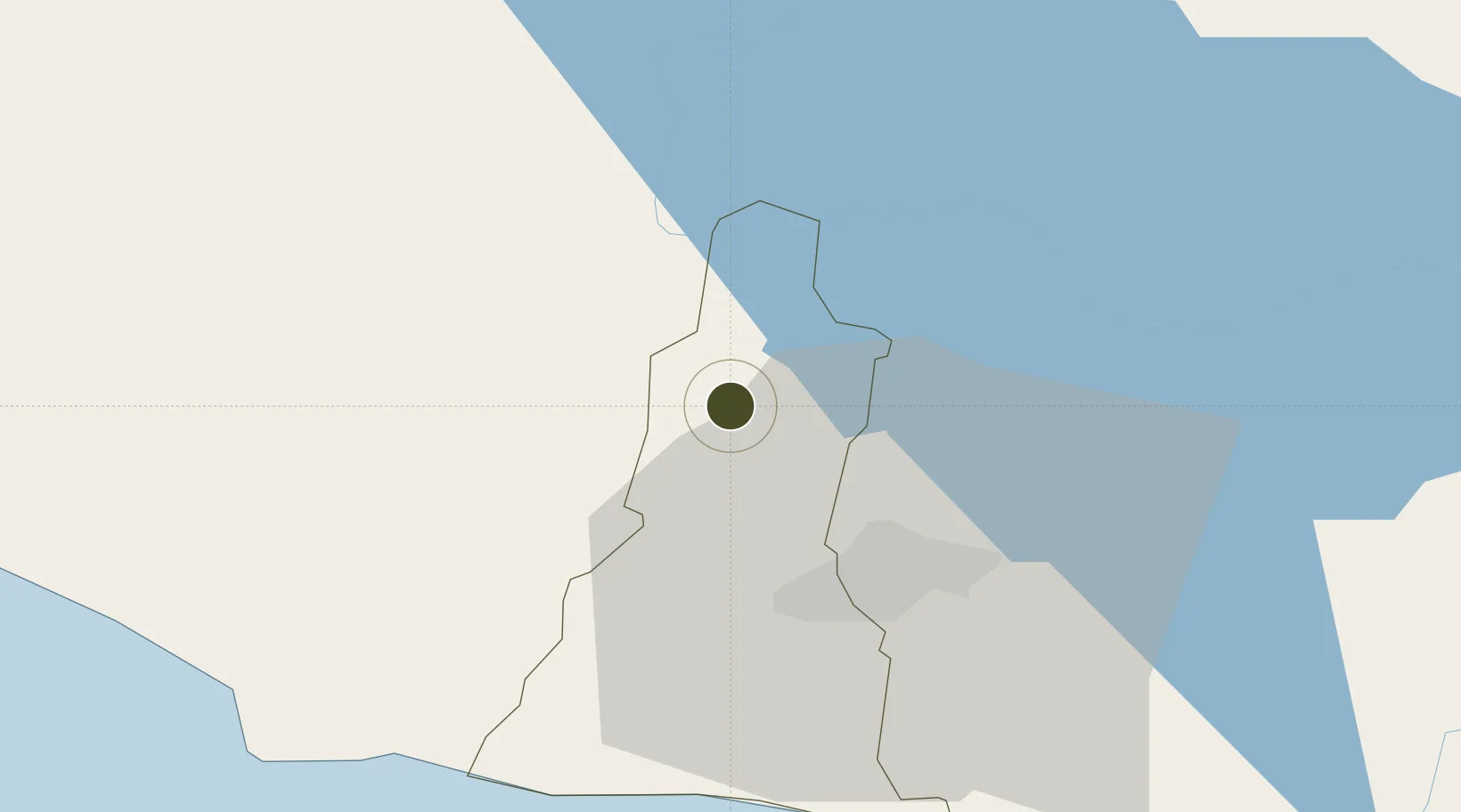
13.8725°, -89.3535°
1 ha
Zone area
64.1 km
Nearest port
31.7 km
Nearest airport

Gateway access

Nearest neighbours — logibook spatial index (haversine) over the source coordinates

Zone profile

Zone type
Free Trade Zone
Open Zone Map
Region
La Libertad
Open Zone Map
Status
Active
Open Zone Map
Management
Private
Open Zone Map
Operator
Grupo Sam-Li
Open Zone Map
Legal framework
Law of Industrial and Marketing Free Zones
Open Zone Map

Location

Location of ozm-1880
Natural Earth 10m (public domain) · La Libertad · ozm-1880 · 13.87, -89.35GoogleOSMYandex

Nearby Logistics Neighbours

Ports
  1. 1Acajutla64 km
  2. 2Puerto Quetzal156 km
  3. 3La Union175 km
  4. 4Puerto De Hencan212 km
  5. 5Santo Tomas De Castilla218 km
Nearest neighbours — logibook spatial index (haversine) over the source coordinates
Airports
  1. 1Ilopango International Airport32 km
  2. 2El Salvador International Airport Saint Óscar Arnulfo Romero y Galdámez57 km
  3. 3La Aurora International Airport149 km
  4. 4San José Airport160 km
  5. 5Palmerola International Airport195 km
Nearest neighbours — logibook spatial index (haversine) over the source coordinates
Cities
  1. 1Sitio del Nino9 km
  2. 2San Salvador12 km
  3. 3Lourdes14 km
  4. 4Apopa20 km
  5. 5Sacacoyo20 km
Nearest neighbours — logibook spatial index (haversine) over the source coordinates
Trade Zones
  1. 1Zona Franca Pipil8 km
  2. 2American Park Free Zone10 km
  3. 3Export Salva Free Zone16 km
  4. 4El Pedregal Free Zone23 km
  5. 5Zona Franca Santa Tecla25 km
Nearest neighbours — logibook spatial index (haversine) over the source coordinates
DatabookThe Record of Consolidated Knowledge
El Salvador beyond logistics?
Browse databook

All Sources

Trade ZonesOpen Zone Map
CC BY
Portsthe NGA World Port Index
Public domain (US gov)
AirportsOurAirports
Public domain
LocationsUN/LOCODE
UN/LOCODE — free
← El Salvador trade zones