Export Processing Zone · Nigeria

Badagry Creek Integrated Industrial Park Inactive
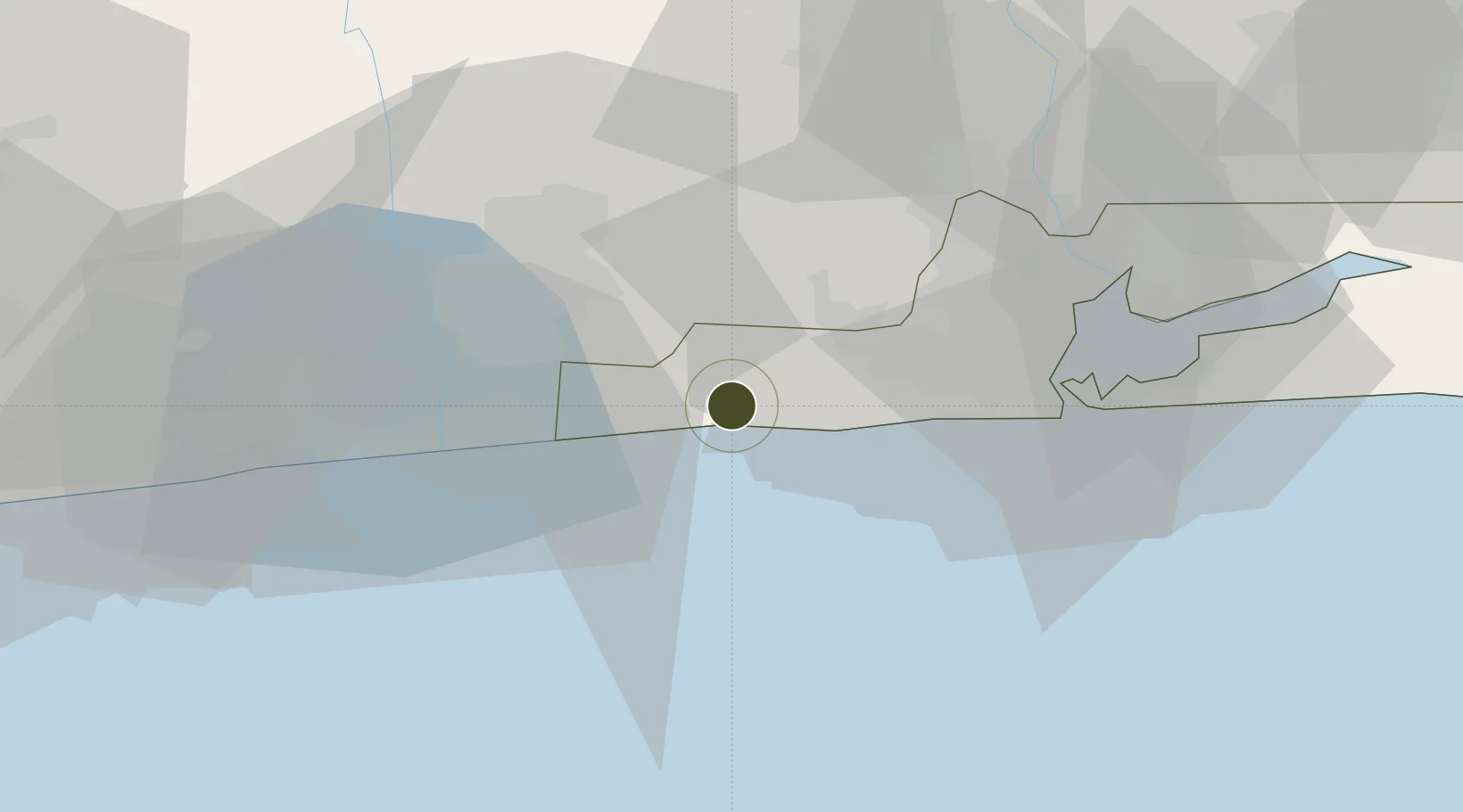
6.4147°, 2.9419°
351 ha
Zone area
45.7 km
Nearest port
45.6 km
Nearest airport

Gateway access

Nearest neighbours — logibook spatial index (haversine) over the source coordinates

Zone profile

Zone type
Export Processing Zone
Open Zone Map
Region
Lagos
Open Zone Map
Status
Inactive
Open Zone Map
Management
Public
Open Zone Map
Operator
Nigerian Export Processing Zones Authority
Open Zone Map
Legal framework
Section 10 (4) of the Nigeria Export Processing Zones Act No 63 of 1992
Open Zone Map

Location

Location of ozm-2962
Natural Earth 10m (public domain) · Lagos · ozm-2962 · 6.41, 2.94GoogleOSMYandex

Nearby Logistics Neighbours

Ports
  1. 1Tin Can Island46 km
  2. 2Lagos51 km
  3. 3Cotonou57 km
  4. 4Kpeme159 km
  5. 5Lome186 km
Nearest neighbours — logibook spatial index (haversine) over the source coordinates
Airports
  1. 1Murtala Muhammed International Airport46 km
  2. 2Cotonou Cadjehoun International Airport62 km
  3. 3Ibadan Airport156 km
  4. 4Lomé–Tokoin International Airport189 km
  5. 5Ho Airport267 km
Nearest neighbours — logibook spatial index (haversine) over the source coordinates
Cities
  1. 1Ado Odo21 km
  2. 2Akoko23 km
  3. 3Porto-Novo37 km
  4. 4Igando37 km
  5. 5Agboju38 km
Nearest neighbours — logibook spatial index (haversine) over the source coordinates
Trade Zones
  1. 1Badagry Free Zone (Maritime Economic City)5 km
  2. 2Ogun Guandong Free Trade Zone26 km
  3. 3Nasco Town Free Zone33 km
  4. 4Sèmè-Podji Free Industrial Zone34 km
  5. 5Free Processing Zone of Benin34 km
Nearest neighbours — logibook spatial index (haversine) over the source coordinates
DatabookThe Record of Consolidated Knowledge
Nigeria beyond logistics?
Browse databook

All Sources

Trade ZonesOpen Zone Map
CC BY
Portsthe NGA World Port Index
Public domain (US gov)
AirportsOurAirports
Public domain
LocationsUN/LOCODE
UN/LOCODE — free
← Nigeria trade zones