Free Trade Zone · Dominican Republic

Las Americas International Airport José Francisco Peña Gómez (AILA-JFPG) Active
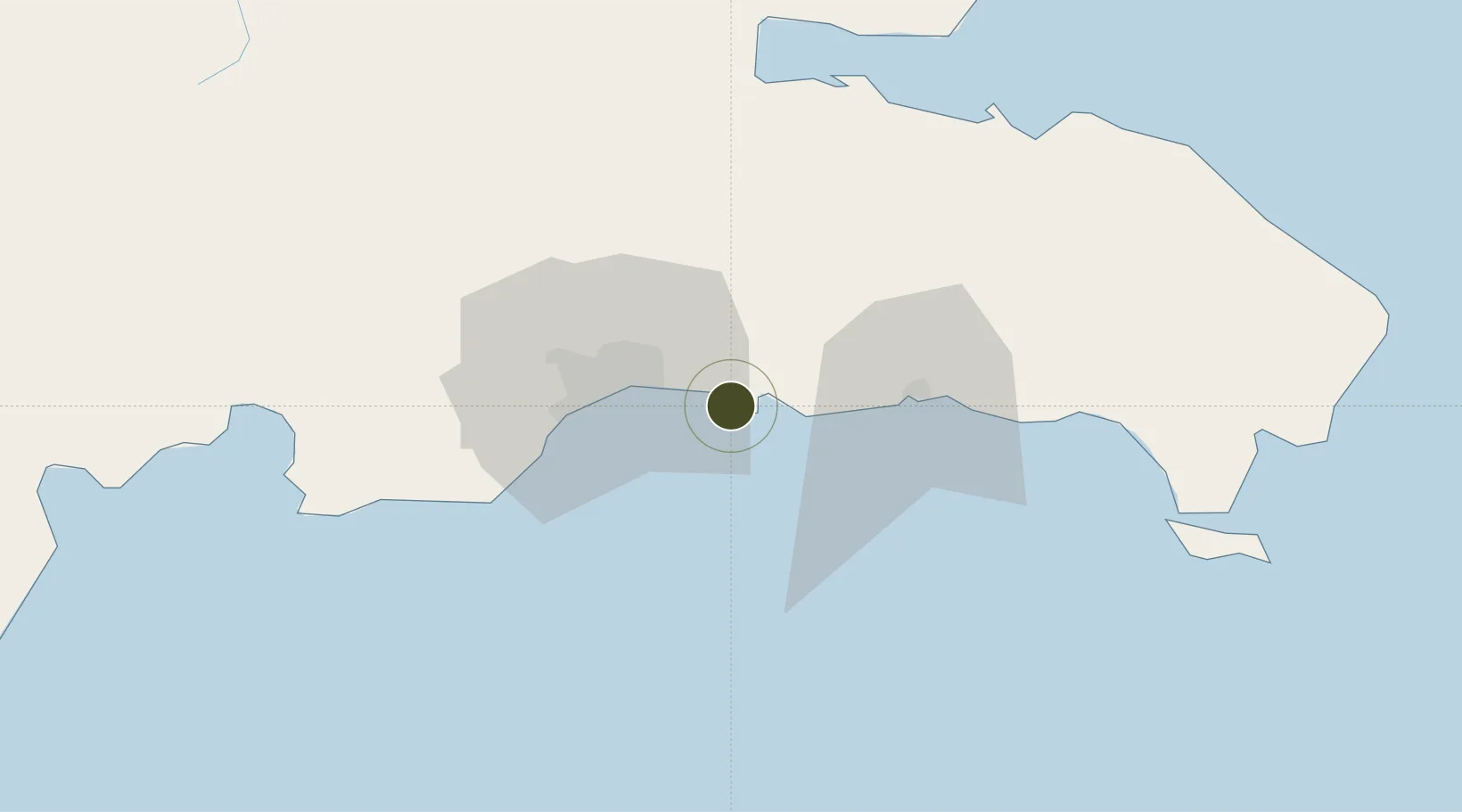
18.4300°, -69.6789°
7 ha
Zone area
4.8 km
Nearest port
1.1 km
Nearest airport

Gateway access

Nearest neighbours — logibook spatial index (haversine) over the source coordinates

Zone profile

Zone type
Free Trade Zone
Open Zone Map
Region
Santo Domingo
Open Zone Map
Status
Active
Open Zone Map
Management
Private
Open Zone Map
Operator
AERODOM
Open Zone Map
Legal framework
Law 8-90, Amended in December 2007
Open Zone Map

Location

Location of ozm-1826
Natural Earth 10m (public domain) · Santo Domingo · ozm-1826 · 18.43, -69.68GoogleOSMYandex

Nearby Logistics Neighbours

Ports
  1. 1Andres (Andres Lng Terminal)5 km
  2. 2Santo Domingo22 km
  3. 3Puerto De Haina36 km
  4. 4San Pedro De Macoris38 km
  5. 5La Romana75 km
Nearest neighbours — logibook spatial index (haversine) over the source coordinates
Airports
  1. 1Las Américas International Airport1 km
  2. 2San Isidro Air Base12 km
  3. 3Los Llanos de Sabanatosa Airport25 km
  4. 4La Isabela International Airport36 km
  5. 5Casa De Campo International Airport81 km
Nearest neighbours — logibook spatial index (haversine) over the source coordinates
Cities
  1. 1Caucedo4 km
  2. 2Guerra14 km
  3. 3San Isidro15 km
  4. 4Hainamosa19 km
  5. 5Santo Domingo22 km
Nearest neighbours — logibook spatial index (haversine) over the source coordinates
DatabookThe Record of Consolidated Knowledge
Dominican Republic beyond logistics?
Browse databook

All Sources

Trade ZonesOpen Zone Map
CC BY
Portsthe NGA World Port Index
Public domain (US gov)
AirportsOurAirports
Public domain
LocationsUN/LOCODE
UN/LOCODE — free
← Dominican Republic trade zones