UN/LOCODE hub · Croatia
HRSUR

Sucurac

43.5500°, 16.4167°
3
Transport functions

Transport Functions

Port
Rail
Road
UN/LOCODE

Location

Location of HRSUR
Natural Earth 10m (public domain) · Splitsko-Dalmatinska · HRSUR · 43.55, 16.42GoogleOSMYandex

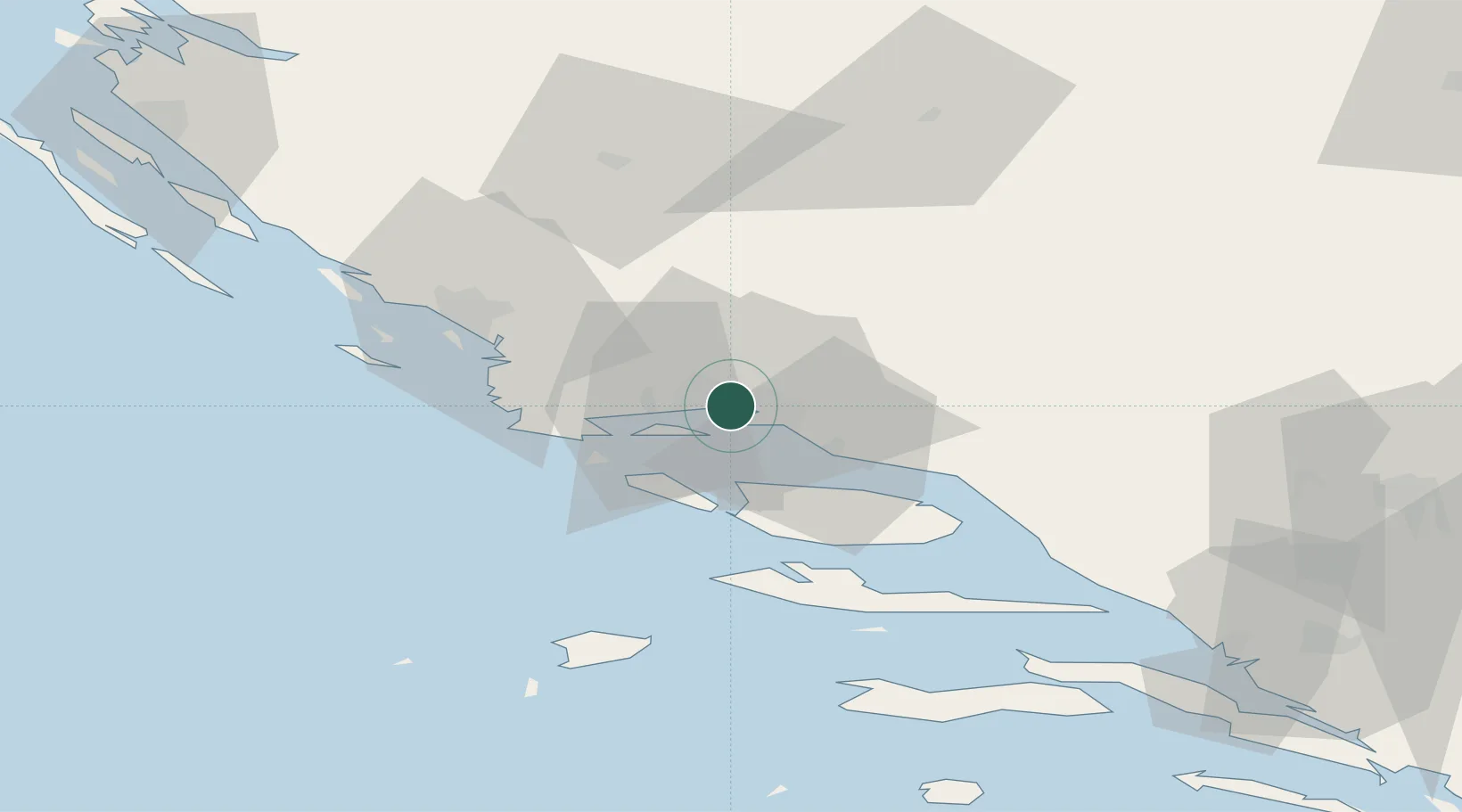
Nearby Logistics Neighbours

Cities
  1. 1Sveti Kajo3 km
  2. 2Vranjic4 km
  3. 3Solin7 km
  4. 4Split7 km
  5. 5Slatine8 km
Nearest neighbours — logibook spatial index (haversine) over the source coordinates
Ports
  1. 1Split6 km
  2. 2Dugi Rat22 km
  3. 3Sibenik48 km
  4. 4Korcula90 km
  5. 5Ploce99 km
Nearest neighbours — logibook spatial index (haversine) over the source coordinates
Airports
  1. 1Split Saint Jerome Airport10 km
  2. 2Brač Airport36 km
  3. 3Zadar Airport105 km
  4. 4Mostar International Airport119 km
  5. 5Udbina Airfield123 km
Nearest neighbours — logibook spatial index (haversine) over the source coordinates
Trade Zones
  1. 1Port of Split Free Zone4 km
  2. 2Split-Dalmatia Free Zone5 km
  3. 3Port of Ploče Free Zone100 km
  4. 4Free Zone Hercegovina115 km
  5. 5Free Zone Visoko149 km
Nearest neighbours — logibook spatial index (haversine) over the source coordinates
DatabookThe Record of Consolidated Knowledge
Croatia beyond logistics?
Browse databook

All Sources

LocationsUN/LOCODE
UN/LOCODE — free
Portsthe NGA World Port Index
Public domain (US gov)
AirportsOurAirports
Public domain
Trade Zonesthe World Bank SEZ database
CC BY 4.0
Trade ZonesOpen Zone Map
CC BY
← Croatia locations