Transport Functions
Port
Road
Hub Profile
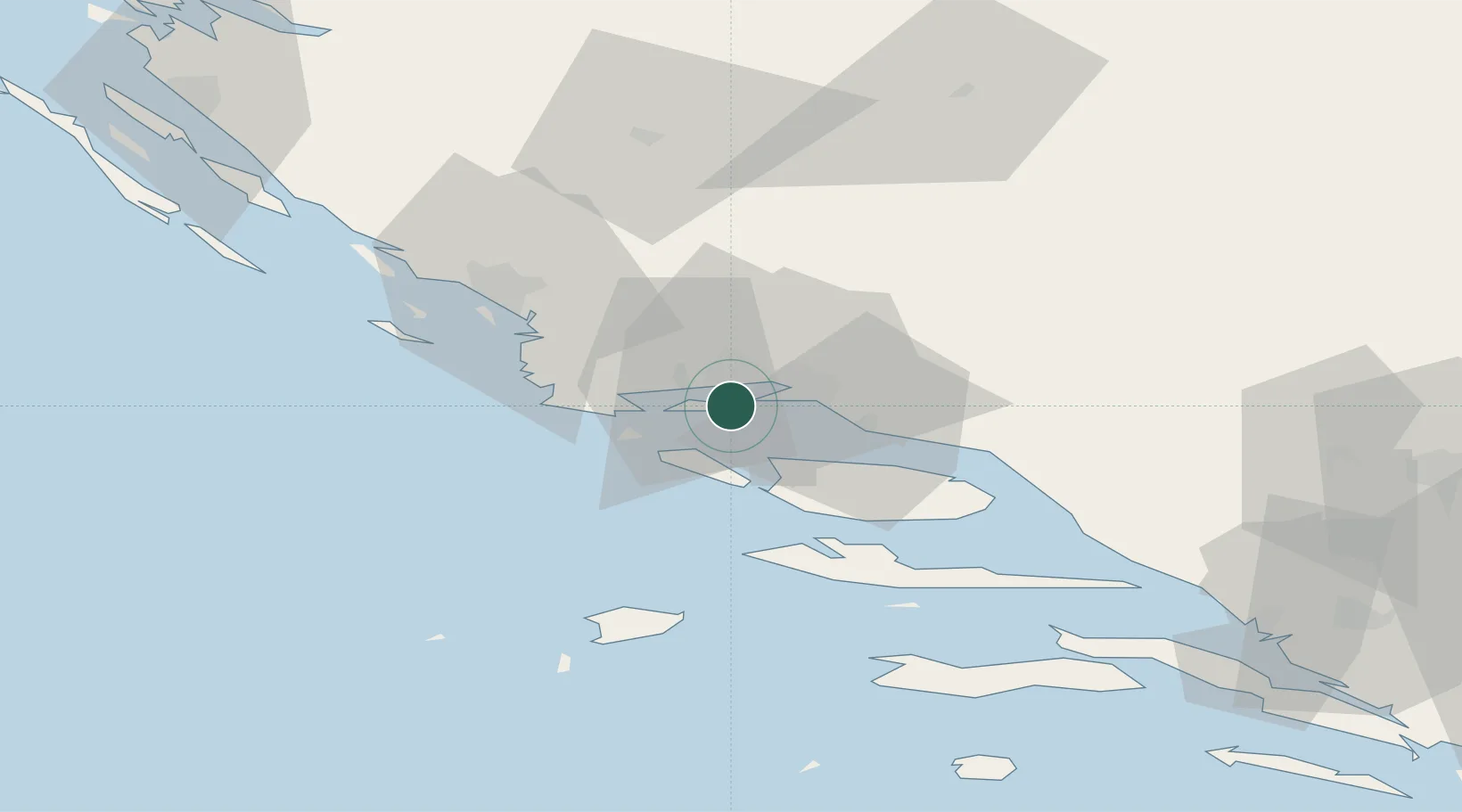
Place type
Populated place
Region
Split-Dalmatia
Population
924
Time zone
Europe/Zagreb
Elevation
25 m
Location
Nearby Logistics Neighbours
Cities
- 1Split1 km
- 2Sucurac8 km
- 3Trogir8 km
- 4Sveti Kajo9 km
- 5Vranjic10 km
Airports
- 1Split Saint Jerome Airport6 km
- 2Brač Airport36 km
- 3Zadar Airport104 km
- 4Mostar International Airport123 km
- 5Udbina Airfield126 km
Trade Zones
- 1Port of Split Free Zone6 km
- 2Split-Dalmatia Free Zone9 km
- 3Port of Ploče Free Zone101 km
- 4Free Zone Hercegovina119 km
- 5Free Zone Visoko156 km
DatabookThe Record of Consolidated Knowledge
Croatia beyond logistics?