Transport Functions
Port
Rail
Road
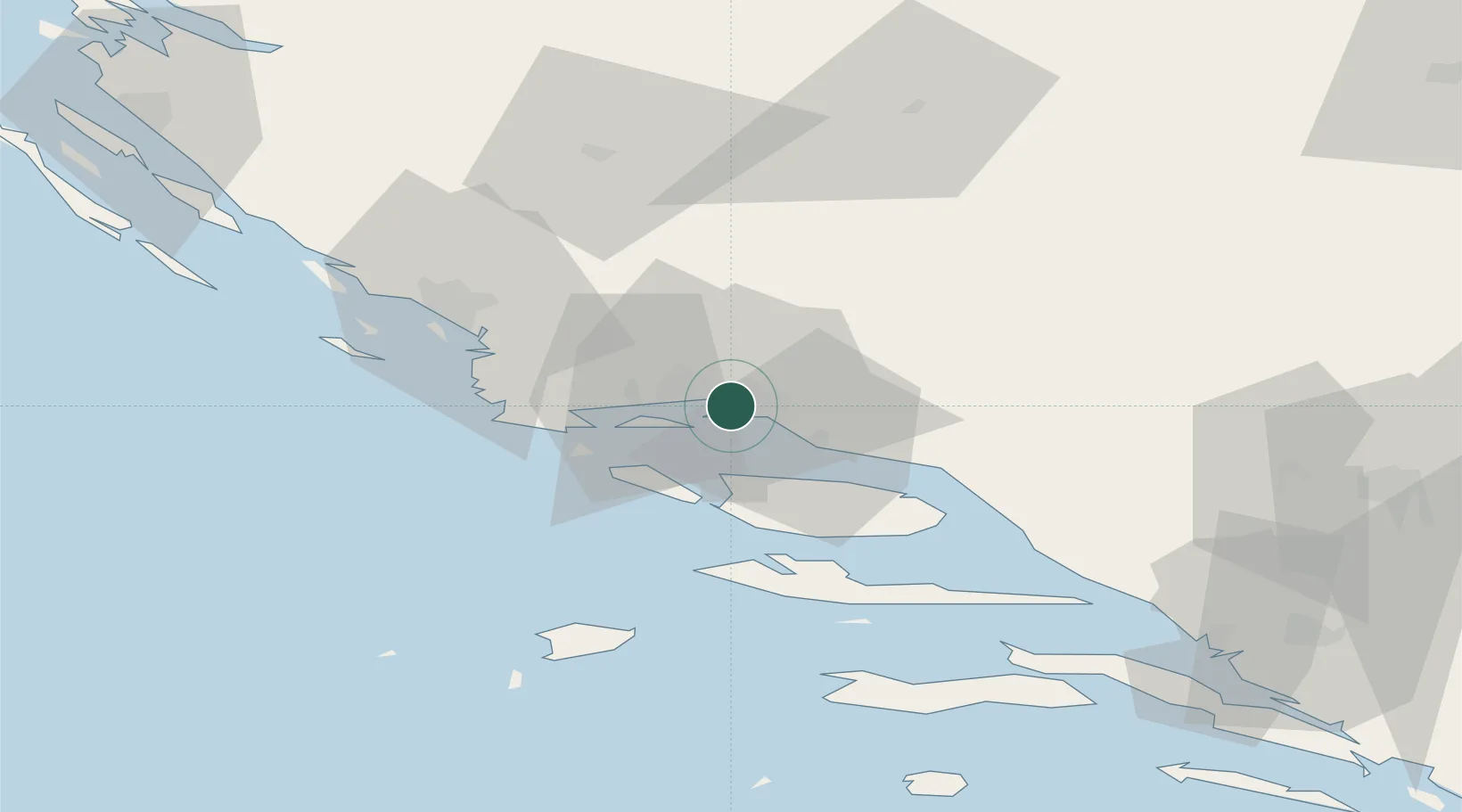
Hub Profile
Region
17
Location
Nearby Logistics Neighbours
Airports
- 1Split Saint Jerome Airport12 km
- 2Brač Airport33 km
- 3Zadar Airport108 km
- 4Mostar International Airport116 km
- 5Udbina Airfield126 km
Trade Zones
- 1Split-Dalmatia Free Zone2 km
- 2Port of Split Free Zone3 km
- 3Port of Ploče Free Zone96 km
- 4Free Zone Hercegovina112 km
- 5Free Zone Visoko147 km
DatabookThe Record of Consolidated Knowledge
Croatia beyond logistics?