Large airport · Gabon

M'Vengue El Hadj Omar Bongo Ondimba International AirportFOON
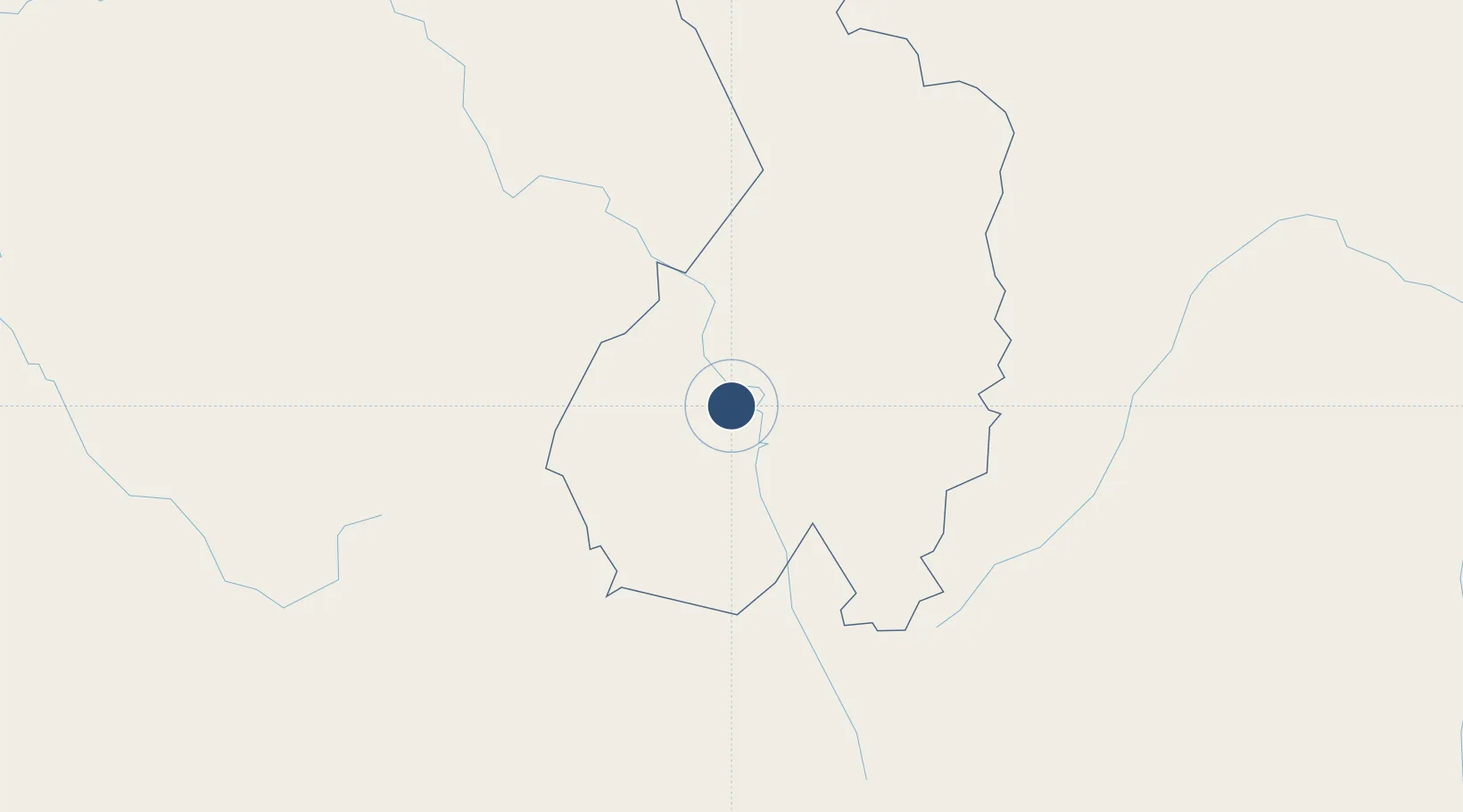
-1.6562°, 13.4380°
10,105 ft
Longest runway
1
Runways
1,450 ft
Elevation

Runway & Layout

M'Vengue El Hadj Omar Bongo Ondimba International Airport runway & taxiway layout
Runway & taxiway layout — OpenStreetMap (ODbL) / OurAirports

Radio Frequencies

TWR
118.2 MHz
MVENGUE TWR
A/G
655.9 MHz
A/G VOICE RDO
OurAirports

Navaids

FRV VOR-DME Franceville 116.10 MHz
FRV NDB Franceville 295 kHz
OurAirports

Runways · 1

RunwayDimensions SurfaceTrue headingLit
15/33 10,105 × 148ft Asphalt 144°
OurAirports

Airport Specifications

IATA code
MVB
OurAirports
ICAO code
FOON
OurAirports
Airport class
Large airport
OurAirports
Scheduled service
Yes
OurAirports
Runway surface
Asphalt
OurAirports
Served city
Franceville
OurAirports

Location

Location of FOON
Natural Earth 10m (public domain) · Haut-Ogooué · FOON · -1.66, 13.44GoogleOSMYandex

Nearby Logistics Neighbours

Airports
  1. 1Okondja Airport113 km
  2. 2Koulamoutou Mabimbi Airport123 km
  3. 3Makokou Airport256 km
  4. 4Mouilla Ville Airport266 km
  5. 5Oyo Ollombo Airport279 km
Nearest neighbours — logibook spatial index (haversine) over the source coordinates
Cities
  1. 1Mbinda80 km
  2. 2Yombo164 km
  3. 3Dolisie294 km
  4. 4Kinshasa365 km
  5. 5Mossaka377 km
Nearest neighbours — logibook spatial index (haversine) over the source coordinates
Ports
  1. 1M'bya Oil Terminal372 km
  2. 2Pointe Noire391 km
  3. 3Etame Terminal399 km
  4. 4Djeno Terminal402 km
  5. 5Gamba Oil Terminal404 km
Nearest neighbours — logibook spatial index (haversine) over the source coordinates
Trade Zones
  1. 1Boumango Special Economic Zone66 km
  2. 2Oyo-Ollombo Special Economic Zone282 km
  3. 3Brazzaville Special Economic Zone351 km
  4. 4Maluku Special Economic Zone357 km
  5. 5Pointe-Noire Special Economic Zone391 km
Nearest neighbours — logibook spatial index (haversine) over the source coordinates
DatabookThe Record of Consolidated Knowledge
Gabon beyond logistics?
Browse databook

All Sources

AirportsOurAirports
Public domain
Portsthe NGA World Port Index
Public domain (US gov)
LocationsUN/LOCODE
UN/LOCODE — free
Trade Zonesthe World Bank SEZ database
CC BY 4.0
Trade ZonesOpen Zone Map
CC BY
InfrastructureOpenStreetMap
ODbL 1.0
← Gabon airports