Medium airport · Congo - Brazzaville

Oyo Ollombo AirportFCOD
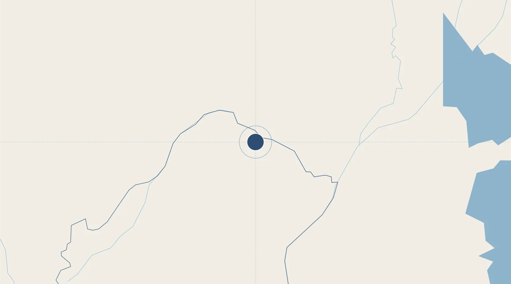
-1.2267°, 15.9100°
10,827 ft
Longest runway
1
Runways
1,073 ft
Elevation

Runway & Layout

Oyo Ollombo Airport runway & taxiway layout
Runway & taxiway layout — OpenStreetMap (ODbL) / OurAirports

Radio Frequencies

INFO
119.1 MHz
Colombo Info
OurAirports

Runways · 1

RunwayDimensions SurfaceTrue headingLit
04/22 10,827 × 150ft Concrete
OurAirports

Airport Specifications

IATA code
OLL
OurAirports
ICAO code
FCOD
OurAirports
Airport class
Medium airport
OurAirports
Scheduled service
No
OurAirports
Runway surface
Concrete
OurAirports
Served city
Oyo
OurAirports

Location

Location of FCOD
Natural Earth 10m (public domain) · Plateaux · FCOD · -1.23, 15.91GoogleOSMYandex

Nearby Logistics Neighbours

Airports
  1. 1Owando Airport78 km
  2. 2Okondja Airport256 km
  3. 3Inongo Airport276 km
  4. 4M'Vengue El Hadj Omar Bongo Ondimba International Airport279 km
  5. 5Bandundu Airport284 km
Nearest neighbours — logibook spatial index (haversine) over the source coordinates
Cities
  1. 1Mossaka99 km
  2. 2Oyo248 km
  3. 3Kinshasa352 km
  4. 4Mbinda352 km
  5. 5Yombo404 km
Nearest neighbours — logibook spatial index (haversine) over the source coordinates
Ports
  1. 1Matadi579 km
  2. 2Pointe Noire601 km
  3. 3Boma604 km
  4. 4Djeno Terminal607 km
  5. 5Futila Terminal626 km
Nearest neighbours — logibook spatial index (haversine) over the source coordinates
Trade Zones
  1. 1Oyo-Ollombo Special Economic Zone4 km
  2. 2Boumango Special Economic Zone277 km
  3. 3Ouesso Special Economic Zone315 km
  4. 4Maluku Special Economic Zone321 km
  5. 5Brazzaville Special Economic Zone365 km
Nearest neighbours — logibook spatial index (haversine) over the source coordinates
DatabookThe Record of Consolidated Knowledge
Congo - Brazzaville beyond logistics?
Browse databook

All Sources

AirportsOurAirports
Public domain
Portsthe NGA World Port Index
Public domain (US gov)
LocationsUN/LOCODE
UN/LOCODE — free
Trade Zonesthe World Bank SEZ database
CC BY 4.0
Trade ZonesOpen Zone Map
CC BY
InfrastructureOpenStreetMap
ODbL 1.0
← Congo - Brazzaville airports