Medium airport · Congo - Kinshasa
Kamina Air BaseFZSA
-8.6420°, 25.2529°
8,858 ft
Longest runway
2
Runways
3,543 ft
Elevation
Runway & Layout

Radio Frequencies
TWR
118.3 MHz
APP
118.1 MHz
A/G
549.8 MHz
A/G VOICE RDO
Navaids
BE NDB Kamina Base 278 kHz
BW NDB Kamina Base 258 kHz
KMB VOR Kamina Base 114.70 MHz
KMB NDB Kamina Base 276 kHz
Runways · 2
| Runway | Dimensions | Surface | True heading | Lit |
|---|---|---|---|---|
| 13L/31R | 8,858 × 148ft | Asphalt | 121° | ✓ |
| 13R/31L | 8,858 × 148ft | Asphalt | 121° | — |
Airport Specifications
ICAO code
FZSA
Airport class
Medium airport
Scheduled service
No
Runway surface
Asphalt
Served city
Lumwe
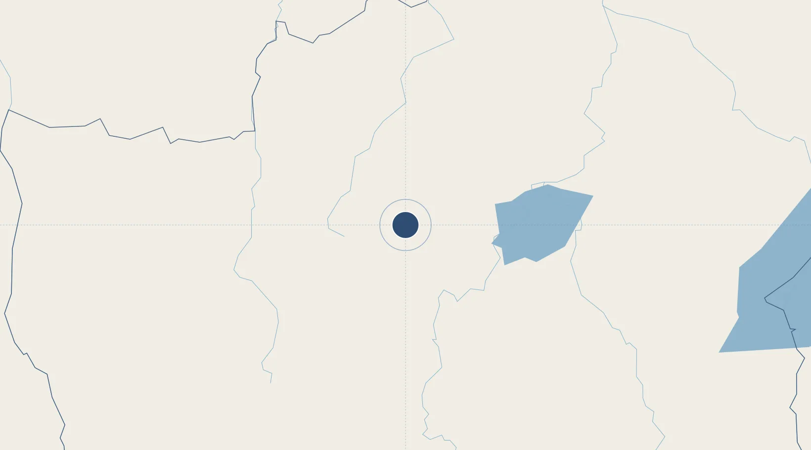
Location
Nearby Logistics Neighbours
Airports
- 1Kamina City Airport30 km
- 2Kolwezi Airport238 km
- 3Mbuji Mayi Airport336 km
- 4Kalumbila Airport402 km
- 5Solwesi Airport411 km
Cities
- 1Likasi307 km
- 2Kipushi408 km
- 3Lubumbashi417 km
- 4Mutasa520 km
- 5Kalulishi559 km
Ports
- 1Porto Amboim1282 km
- 2Sumbe1283 km
- 3Luanda1319 km
- 4Matadi1339 km
- 5Porto Do Ambriz1340 km
Trade Zones
DatabookThe Record of Consolidated Knowledge
Congo - Kinshasa beyond logistics?