Export Processing Zone · China

Lianping County Industrial Transfer Industrial Park Active
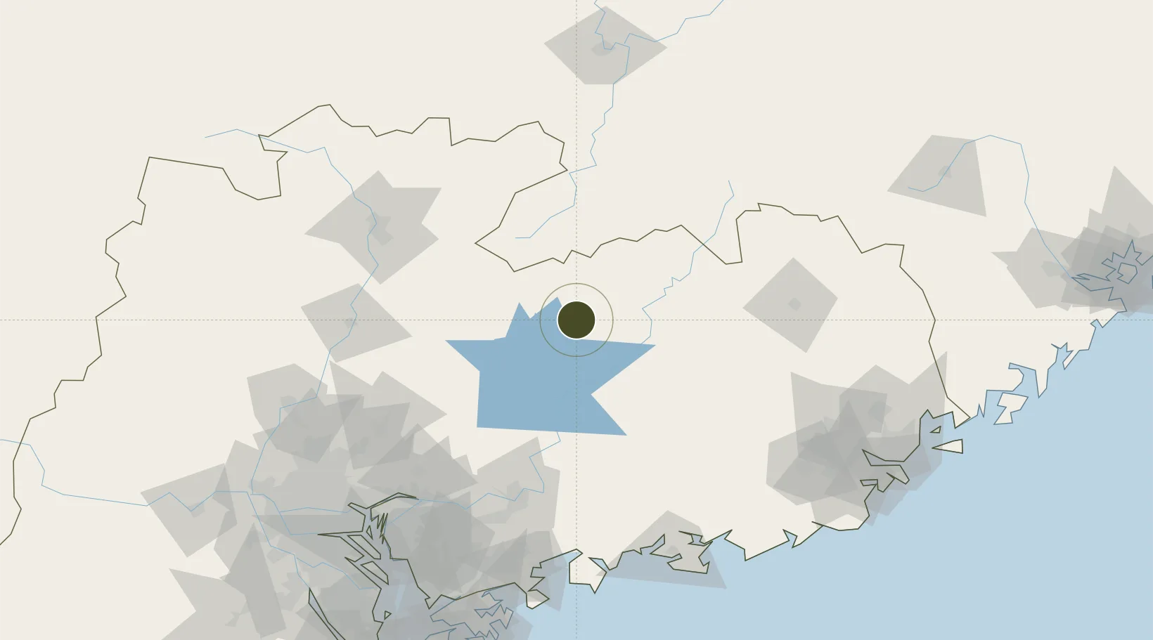
24.2087°, 114.7850°
139 ha
Zone area
168.1 km
Nearest port
130.2 km
Nearest airport

Gateway access

Nearest neighbours — logibook spatial index (haversine) over the source coordinates

Zone profile

Zone type
Export Processing Zone
Open Zone Map
Region
Guangdong
Open Zone Map
Status
Active
Open Zone Map
Management
Public
Open Zone Map
Operator
Lianping County Industrial Park Management Committee
Open Zone Map
Legal framework
Unavailable
Open Zone Map

Location

Location of ozm-1045
Natural Earth 10m (public domain) · Guangdong · ozm-1045 · 24.21, 114.78GoogleOSMYandex

Nearby Logistics Neighbours

Ports
  1. 1Huizhou168 km
  2. 2Huangpuxingang184 km
  3. 3Huangpu187 km
  4. 4Yantian188 km
  5. 5Guangzhou199 km
Nearest neighbours — logibook spatial index (haversine) over the source coordinates
Airports
  1. 1Huizhou Pingtan Airport130 km
  2. 2Meizhou Meixian Changgangji International Airport133 km
  3. 3Xincheng Air Base150 km
  4. 4Shaoguan Danxia Airport162 km
  5. 5Guangzhou Baiyun International Airport176 km
Nearest neighbours — logibook spatial index (haversine) over the source coordinates
Cities
  1. 1Donglian Port109 km
  2. 2Hengli117 km
  3. 3Mabian Island125 km
  4. 4Honghai Pt127 km
  5. 5Boluo127 km
Nearest neighbours — logibook spatial index (haversine) over the source coordinates
DatabookThe Record of Consolidated Knowledge
China beyond logistics?
Browse databook

All Sources

Trade ZonesOpen Zone Map
CC BY
Portsthe NGA World Port Index
Public domain (US gov)
AirportsOurAirports
Public domain
LocationsUN/LOCODE
UN/LOCODE — free
← China trade zones