Export Processing Zone · China

Pingyu County Industrial Cluster Active
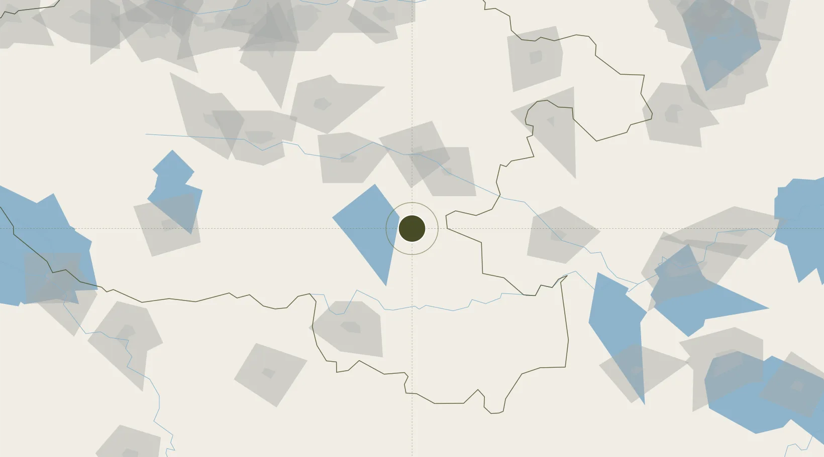
32.9731°, 114.5994°
128,200 ha
Zone area
267.4 km
Nearest port
68.4 km
Nearest airport

Gateway access

Nearest neighbours — logibook spatial index (haversine) over the source coordinates

Zone profile

Zone type
Export Processing Zone
Open Zone Map
Region
Henan
Open Zone Map
Status
Active
Open Zone Map
Management
Public
Open Zone Map
Operator
Working Committee of Pingyu County Industrial Cluster
Open Zone Map
Legal framework
Review on the development of Pingyu County Industrial Cluster in Zhumadian city in five years
Open Zone Map

Location

Location of ozm-1484
Natural Earth 10m (public domain) · Henan · ozm-1484 · 32.97, 114.60GoogleOSMYandex

Nearby Logistics Neighbours

Ports
  1. 1Hankow267 km
  2. 2Nanjing402 km
  3. 3Yangzhou459 km
  4. 4Zhenjiang461 km
  5. 5Lianyungang489 km
Nearest neighbours — logibook spatial index (haversine) over the source coordinates
Airports
  1. 1Xinyang Minggang Airport68 km
  2. 2Fuyang Xiguan Airport106 km
  3. 3Luyang Air Base177 km
  4. 4Shangqiu Air Base182 km
  5. 5Nanyang Jiangying Airport185 km
Nearest neighbours — logibook spatial index (haversine) over the source coordinates
Cities
  1. 1Huangbu46 km
  2. 2Zhoukou72 km
  3. 3Wulidian98 km
  4. 4Xinyang107 km
  5. 5Pingdingshan147 km
Nearest neighbours — logibook spatial index (haversine) over the source coordinates
Trade Zones
  1. 1Xincai County Industrial Cluster38 km
  2. 2Queshan County Industrial Cluster54 km
  3. 3Xiangcheng Industrial Cluster62 km
  4. 4Linquan Economic Development Zone66 km
  5. 5Shangshui County Industrial Cluster66 km
Nearest neighbours — logibook spatial index (haversine) over the source coordinates
DatabookThe Record of Consolidated Knowledge
China beyond logistics?
Browse databook

All Sources

Trade ZonesOpen Zone Map
CC BY
Portsthe NGA World Port Index
Public domain (US gov)
AirportsOurAirports
Public domain
LocationsUN/LOCODE
UN/LOCODE — free
← China trade zones