Medium airport · China

Fuyang Xiguan AirportZSFY
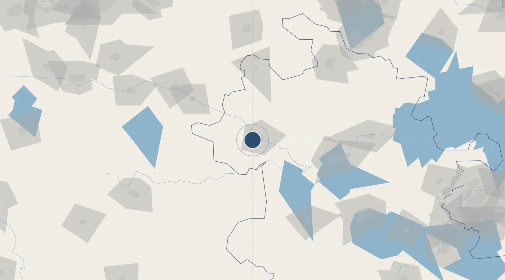
32.8822°, 115.7344°
7,874 ft
Longest runway
1
Runways
104 ft
Elevation

Runway & Layout

Fuyang Xiguan Airport runway & taxiway layout
Runway & taxiway layout — OpenStreetMap (ODbL) / OurAirports

Runways · 1

RunwayDimensions SurfaceTrue headingLit
03/21 7,874 × —ft Concrete
OurAirports

Airport Specifications

IATA code
FUG
OurAirports
ICAO code
ZSFY
OurAirports
Airport class
Medium airport
OurAirports
Scheduled service
Yes
OurAirports
Runway surface
Concrete
OurAirports
Served city
Yingzhou, Fuyang
OurAirports

Location

Location of ZSFY
Natural Earth 10m (public domain) · Anhui · ZSFY · 32.88, 115.73GoogleOSMYandex

Nearby Logistics Neighbours

Airports
  1. 1Bengbu Tenghu Airport127 km
  2. 2Bengbu Tenghu Airport148 km
  3. 3Hefei Xinqiao International Airport153 km
  4. 4Xinyang Minggang Airport159 km
  5. 5Shangqiu Air Base176 km
Nearest neighbours — logibook spatial index (haversine) over the source coordinates
Cities
  1. 1Mengcheng87 km
  2. 2Zhaogang92 km
  3. 3Zhoukou131 km
  4. 4Lu'an146 km
  5. 5Huangbu150 km
Nearest neighbours — logibook spatial index (haversine) over the source coordinates
Ports
  1. 1Hankow290 km
  2. 2Nanjing297 km
  3. 3Yangzhou353 km
  4. 4Zhenjiang355 km
  5. 5Gaogang391 km
Nearest neighbours — logibook spatial index (haversine) over the source coordinates
Trade Zones
  1. 1Fuyang Economic and Technological Development Zone9 km
  2. 2Fuyang Economic Development Zone13 km
  3. 3Yingdong Economic Development Zone13 km
  4. 4Yingquan Economic Development Zone17 km
  5. 5Fuyang Industrial Park17 km
Nearest neighbours — logibook spatial index (haversine) over the source coordinates
DatabookThe Record of Consolidated Knowledge
China beyond logistics?
Browse databook

All Sources

AirportsOurAirports
Public domain
Portsthe NGA World Port Index
Public domain (US gov)
LocationsUN/LOCODE
UN/LOCODE — free
Trade Zonesthe World Bank SEZ database
CC BY 4.0
Trade ZonesOpen Zone Map
CC BY
InfrastructureOpenStreetMap
ODbL 1.0
← China airports