Export Processing Zone · China

Xincai County Industrial Cluster Active
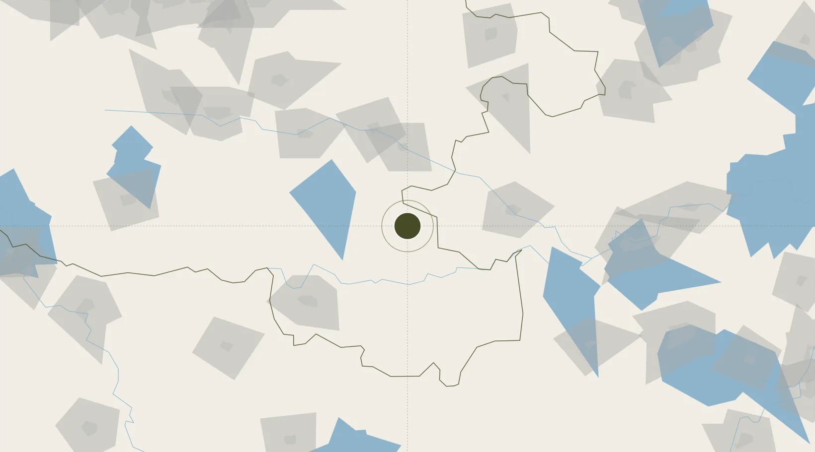
32.7784°, 114.9361°
360 ha
Zone area
251.8 km
Nearest port
75.5 km
Nearest airport

Gateway access

Nearest neighbours — logibook spatial index (haversine) over the source coordinates

Zone profile

Zone type
Export Processing Zone
Open Zone Map
Region
Henan
Open Zone Map
Status
Active
Open Zone Map
Management
Public
Open Zone Map
Operator
Working Committee of Xincai County Industrial Cluster
Open Zone Map
Legal framework
General Urban Planning of Xincai County (Phase III)
Open Zone Map

Location

Location of ozm-1108
Natural Earth 10m (public domain) · Henan · ozm-1108 · 32.78, 114.94GoogleOSMYandex

Nearby Logistics Neighbours

Ports
  1. 1Hankow252 km
  2. 2Nanjing366 km
  3. 3Yangzhou425 km
  4. 4Zhenjiang426 km
  5. 5Gaogang464 km
Nearest neighbours — logibook spatial index (haversine) over the source coordinates
Airports
  1. 1Fuyang Xiguan Airport76 km
  2. 2Xinyang Minggang Airport85 km
  3. 3Shangqiu Air Base192 km
  4. 4Bengbu Tenghu Airport203 km
  5. 5Hefei Xinqiao International Airport211 km
Nearest neighbours — logibook spatial index (haversine) over the source coordinates
Cities
  1. 1Huangbu84 km
  2. 2Wulidian94 km
  3. 3Zhoukou97 km
  4. 4Xinyang110 km
  5. 5Mengcheng160 km
Nearest neighbours — logibook spatial index (haversine) over the source coordinates
Trade Zones
  1. 1Pingyu County Industrial Cluster38 km
  2. 2Linquan Economic Development Zone46 km
  3. 3Funan Economic Development Zone67 km
  4. 4Jieshou Economic Development Zone70 km
  5. 5Huangchuan Economic and Technical Zone74 km
Nearest neighbours — logibook spatial index (haversine) over the source coordinates
DatabookThe Record of Consolidated Knowledge
China beyond logistics?
Browse databook

All Sources

Trade ZonesOpen Zone Map
CC BY
Portsthe NGA World Port Index
Public domain (US gov)
AirportsOurAirports
Public domain
LocationsUN/LOCODE
UN/LOCODE — free
← China trade zones