Diversified Zone · China

Shangshui County Industrial Cluster Active
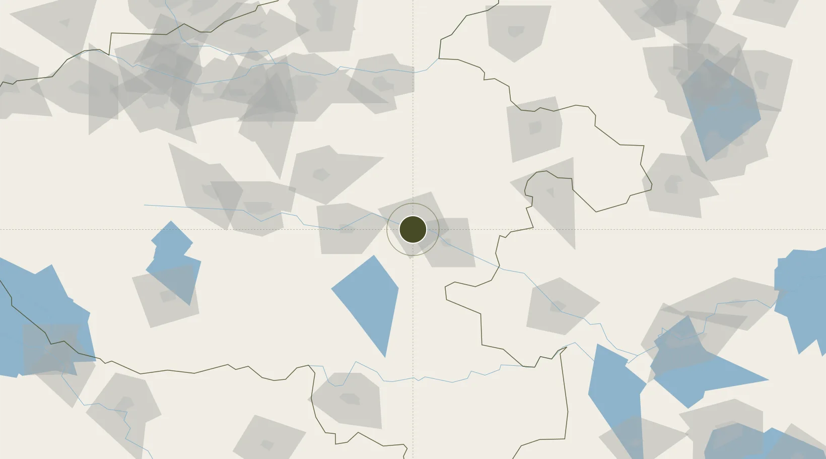
33.5689°, 114.6145°
1,500 ha
Zone area
333.4 km
Nearest port
124.7 km
Nearest airport

Gateway access

Nearest neighbours — logibook spatial index (haversine) over the source coordinates

Zone profile

Zone type
Diversified Zone
Open Zone Map
Region
Henan
Open Zone Map
Status
Active
Open Zone Map
Management
Public
Open Zone Map
Operator
Management Committee of Shangshui County Industrial Cluster
Open Zone Map
Legal framework
It was founded in August 2009
Open Zone Map

Location

Location of ozm-771
Natural Earth 10m (public domain) · Henan · ozm-771 · 33.57, 114.61GoogleOSMYandex

Nearby Logistics Neighbours

Ports
  1. 1Hankow333 km
  2. 2Nanjing420 km
  3. 3Lianyungang463 km
  4. 4Lanshan468 km
  5. 5Yangzhou473 km
Nearest neighbours — logibook spatial index (haversine) over the source coordinates
Airports
  1. 1Xinyang Minggang Airport125 km
  2. 2Shangqiu Air Base125 km
  3. 3Zhengzhou Xinzheng International Airport128 km
  4. 4Fuyang Xiguan Airport129 km
  5. 5Kaifeng Air Base134 km
Nearest neighbours — logibook spatial index (haversine) over the source coordinates
Cities
  1. 1Zhoukou6 km
  2. 2Huangbu61 km
  3. 3Pingdingshan123 km
  4. 4Kaifeng138 km
  5. 5Zhengzhoudong Railway Station153 km
Nearest neighbours — logibook spatial index (haversine) over the source coordinates
Trade Zones
  1. 1Zhoukou Economic and Technical Development Zone6 km
  2. 2Xiangcheng Industrial Cluster34 km
  3. 3Taikang County Industrial Cluster56 km
  4. 4Shali Industrial Cluster Area, Luohe City58 km
  5. 5Fugou County Industrial Cluster61 km
Nearest neighbours — logibook spatial index (haversine) over the source coordinates
DatabookThe Record of Consolidated Knowledge
China beyond logistics?
Browse databook

All Sources

Trade ZonesOpen Zone Map
CC BY
Portsthe NGA World Port Index
Public domain (US gov)
AirportsOurAirports
Public domain
LocationsUN/LOCODE
UN/LOCODE — free
← China trade zones