Export Processing Zone · China

Dongying Port Economic Development Zone Active
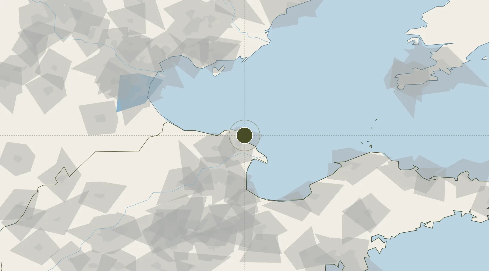
38.0719°, 118.9333°
23,200 ha
Zone area
125.6 km
Nearest port
64.7 km
Nearest airport

Gateway access

Nearest neighbours — logibook spatial index (haversine) over the source coordinates

Zone profile

Zone type
Export Processing Zone
Open Zone Map
Region
Shandong
Open Zone Map
Status
Active
Open Zone Map
Management
Public
Open Zone Map
Operator
Management committee
Open Zone Map
Legal framework
The provincial economic development zone approved by the provincial government in April 2006
Open Zone Map

Location

Location of ozm-1474
Natural Earth 10m (public domain) · Shandong · ozm-1474 · 38.07, 118.93GoogleOSMYandex

Nearby Logistics Neighbours

Ports
  1. 1Tangshan (Jingtang)126 km
  2. 2Longkou Gang128 km
  3. 3Tianjin Xin Gang138 km
  4. 4Penglai169 km
  5. 5Qinhuangdao215 km
Nearest neighbours — logibook spatial index (haversine) over the source coordinates
Airports
  1. 1Dongying Shengli Airport65 km
  2. 2Weifang Nanyuan Airport159 km
  3. 3Qinhuangdao Beidaihe Airport178 km
  4. 4Cangxian Air Base179 km
  5. 5Tangguantun Air Base181 km
Nearest neighbours — logibook spatial index (haversine) over the source coordinates
Cities
  1. 1Bozhong61 km
  2. 2Dongying76 km
  3. 3Weifang96 km
  4. 4Caofeidian Pt104 km
  5. 5Taipingwan120 km
Nearest neighbours — logibook spatial index (haversine) over the source coordinates
Trade Zones
  1. 1Kenli Economic Development Zone62 km
  2. 2Zhanhua Economic Development Zone78 km
  3. 3Lijin Economic Development Zone89 km
  4. 4Wudi Industrial Park101 km
  5. 5Binzhou High-tech Industrial Development Zone114 km
Nearest neighbours — logibook spatial index (haversine) over the source coordinates
DatabookThe Record of Consolidated Knowledge
China beyond logistics?
Browse databook

All Sources

Trade ZonesOpen Zone Map
CC BY
Portsthe NGA World Port Index
Public domain (US gov)
AirportsOurAirports
Public domain
LocationsUN/LOCODE
UN/LOCODE — free
← China trade zones