Export Processing Zone · China

Kenli Economic Development Zone Active
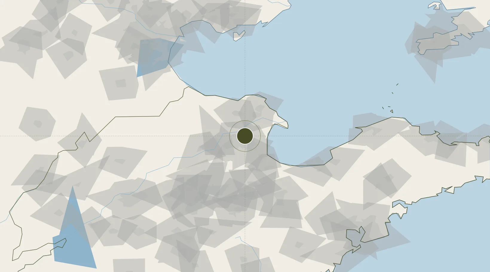
37.5640°, 118.6436°
700 ha
Zone area
144.7 km
Nearest port
14.7 km
Nearest airport

Gateway access

Nearest neighbours — logibook spatial index (haversine) over the source coordinates

Zone profile

Zone type
Export Processing Zone
Open Zone Map
Region
Shandong
Open Zone Map
Status
Active
Open Zone Map
Management
Public
Open Zone Map
Operator
Working Committee of Kenli Economic Development Zone
Open Zone Map
Legal framework
Kenli County - Development Zone Planning
Open Zone Map

Location

Location of ozm-1204
Natural Earth 10m (public domain) · Shandong · ozm-1204 · 37.56, 118.64GoogleOSMYandex

Nearby Logistics Neighbours

Ports
  1. 1Longkou Gang145 km
  2. 2Tianjin Xin Gang171 km
  3. 3Tangshan (Jingtang)185 km
  4. 4Penglai195 km
  5. 5Qingdao Gang223 km
Nearest neighbours — logibook spatial index (haversine) over the source coordinates
Airports
  1. 1Dongying Shengli Airport15 km
  2. 2Weifang Nanyuan Airport110 km
  3. 3Jinan Yaoqiang International Airport149 km
  4. 4Cangxian Air Base177 km
  5. 5Jiaozhou Jiaocheng Air Base184 km
Nearest neighbours — logibook spatial index (haversine) over the source coordinates
Cities
  1. 1Dongying17 km
  2. 2Weifang60 km
  3. 3Zibo95 km
  4. 4Bozhong100 km
  5. 5Taipingwan110 km
Nearest neighbours — logibook spatial index (haversine) over the source coordinates
Trade Zones
  1. 1Lijin Economic Development Zone38 km
  2. 2Zhanhua Economic Development Zone44 km
  3. 3Guangrao Economic Development Zone56 km
  4. 4Dongying Port Economic Development Zone62 km
  5. 5Shandong Boxing Economic Development Zone63 km
Nearest neighbours — logibook spatial index (haversine) over the source coordinates
DatabookThe Record of Consolidated Knowledge
China beyond logistics?
Browse databook

All Sources

Trade ZonesOpen Zone Map
CC BY
Portsthe NGA World Port Index
Public domain (US gov)
AirportsOurAirports
Public domain
LocationsUN/LOCODE
UN/LOCODE — free
← China trade zones