Export Processing Zone · China

Zhanhua Economic Development Zone Active
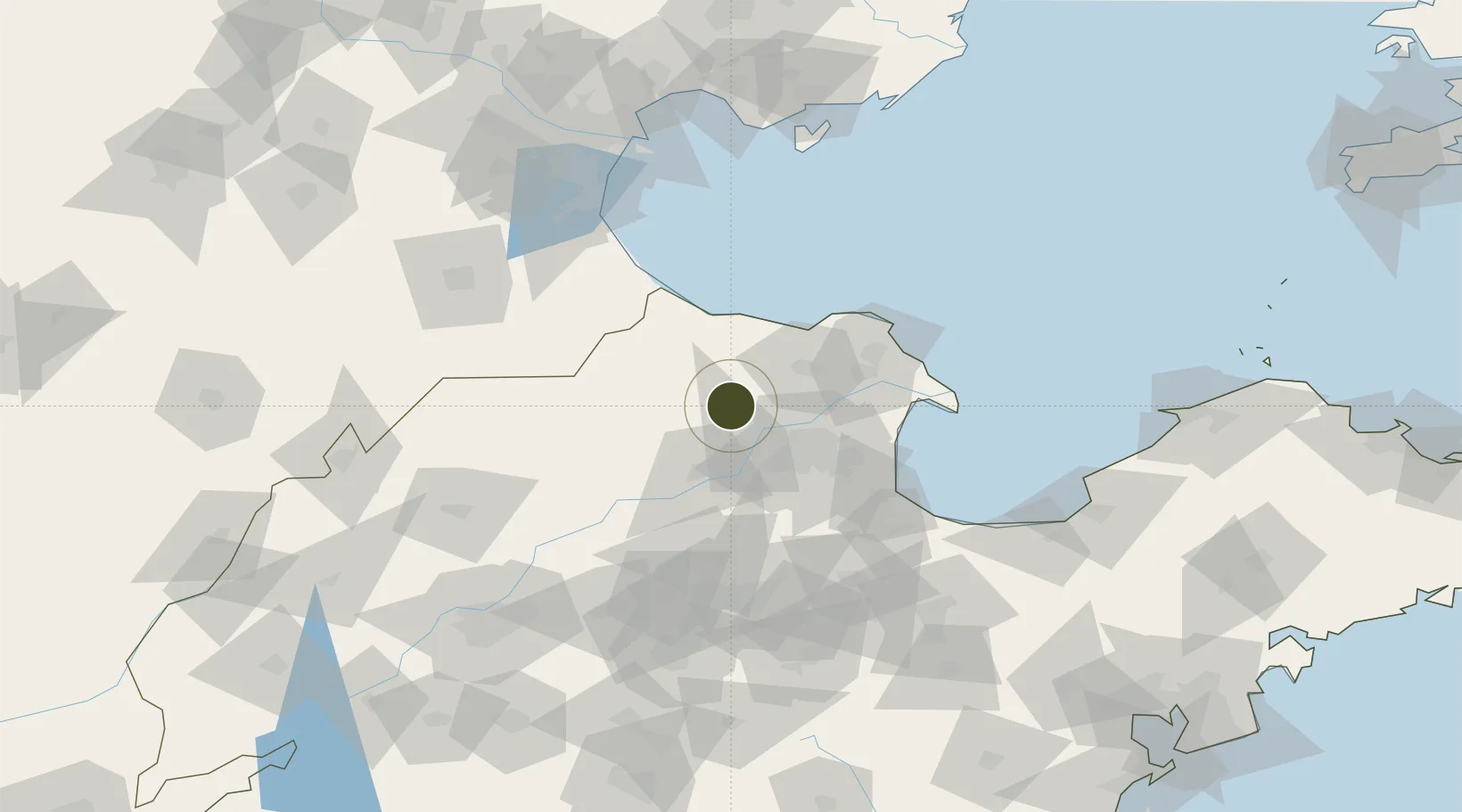
37.7047°, 118.1720°
3,700 ha
Zone area
143.4 km
Nearest port
58.9 km
Nearest airport

Gateway access

Nearest neighbours — logibook spatial index (haversine) over the source coordinates

Zone profile

Zone type
Export Processing Zone
Open Zone Map
Region
Shandong
Open Zone Map
Status
Active
Open Zone Map
Management
Public
Open Zone Map
Operator
Management Committee of Zhanhua Economic Development Zone
Open Zone Map
Legal framework
Established in 2003,
Open Zone Map

Location

Location of ozm-1409
Natural Earth 10m (public domain) · Shandong · ozm-1409 · 37.70, 118.17GoogleOSMYandex

Nearby Logistics Neighbours

Ports
  1. 1Tianjin Xin Gang143 km
  2. 2Tangshan (Jingtang)182 km
  3. 3Longkou Gang186 km
  4. 4Penglai234 km
  5. 5Qingdao Gang263 km
Nearest neighbours — logibook spatial index (haversine) over the source coordinates
Airports
  1. 1Dongying Shengli Airport59 km
  2. 2Jinan Yaoqiang International Airport127 km
  3. 3Cangxian Air Base134 km
  4. 4Weifang Nanyuan Airport145 km
  5. 5Tangguantun Air Base154 km
Nearest neighbours — logibook spatial index (haversine) over the source coordinates
Cities
  1. 1Dongying55 km
  2. 2Leling84 km
  3. 3Bozhong86 km
  4. 4Zibo96 km
  5. 5Huanghua Pt102 km
Nearest neighbours — logibook spatial index (haversine) over the source coordinates
Trade Zones
  1. 1Lijin Economic Development Zone24 km
  2. 2Binzhou High-tech Industrial Development Zone40 km
  3. 3Kenli Economic Development Zone44 km
  4. 4Wudi Industrial Park45 km
  5. 5Shandong Boxing Economic Development Zone59 km
Nearest neighbours — logibook spatial index (haversine) over the source coordinates
DatabookThe Record of Consolidated Knowledge
China beyond logistics?
Browse databook

All Sources

Trade ZonesOpen Zone Map
CC BY
Portsthe NGA World Port Index
Public domain (US gov)
AirportsOurAirports
Public domain
LocationsUN/LOCODE
UN/LOCODE — free
← China trade zones