UN/LOCODE hub · China
CNTPW

Taipingwan

37.2667°, 119.8333°
1
Transport functions

Transport Functions

Port
UN/LOCODE

Hub Profile

Place type
Populated place
GeoNames
Region
Liaoning
GeoNames
Time zone
Asia/Shanghai
GeoNames
Elevation
10 m
GeoNames

Location

Location of CNTPW
Natural Earth 10m (public domain) · Liaoning · CNTPW · 37.27, 119.83GoogleOSMYandex

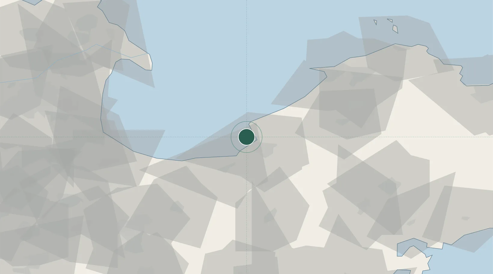
Nearby Logistics Neighbours

Cities
  1. 1Laizhou Pt15 km
  2. 2Weifang58 km
  3. 3Longkou Pt61 km
  4. 4Laiyang88 km
  5. 5Gaomi99 km
Nearest neighbours — logibook spatial index (haversine) over the source coordinates
Ports
  1. 1Longkou Gang57 km
  2. 2Penglai107 km
  3. 3Qingdao Gang143 km
  4. 4Yantai146 km
  5. 5Weihai202 km
Nearest neighbours — logibook spatial index (haversine) over the source coordinates
Airports
  1. 1Laiyang Air Base75 km
  2. 2Weifang Nanyuan Airport94 km
  3. 3Dongying Shengli Airport96 km
  4. 4Qingdao Jiaodong International Airport103 km
  5. 5Jiaozhou Jiaocheng Air Base105 km
Nearest neighbours — logibook spatial index (haversine) over the source coordinates
Trade Zones
  1. 1Laizhou Economic Development Zone10 km
  2. 2Zhaoyuan Industrial Park55 km
  3. 3Pingdu Economic Development Zone58 km
  4. 4Changyi Economic Development Zone61 km
  5. 5Longkou Economic Development Zone61 km
Nearest neighbours — logibook spatial index (haversine) over the source coordinates
DatabookThe Record of Consolidated Knowledge
China beyond logistics?
Browse databook

All Sources

LocationsUN/LOCODE
UN/LOCODE — free
Portsthe NGA World Port Index
Public domain (US gov)
AirportsOurAirports
Public domain
Trade Zonesthe World Bank SEZ database
CC BY 4.0
Trade ZonesOpen Zone Map
CC BY
← China locations