Export Processing Zone · China

Liling Economic Development Zone Active
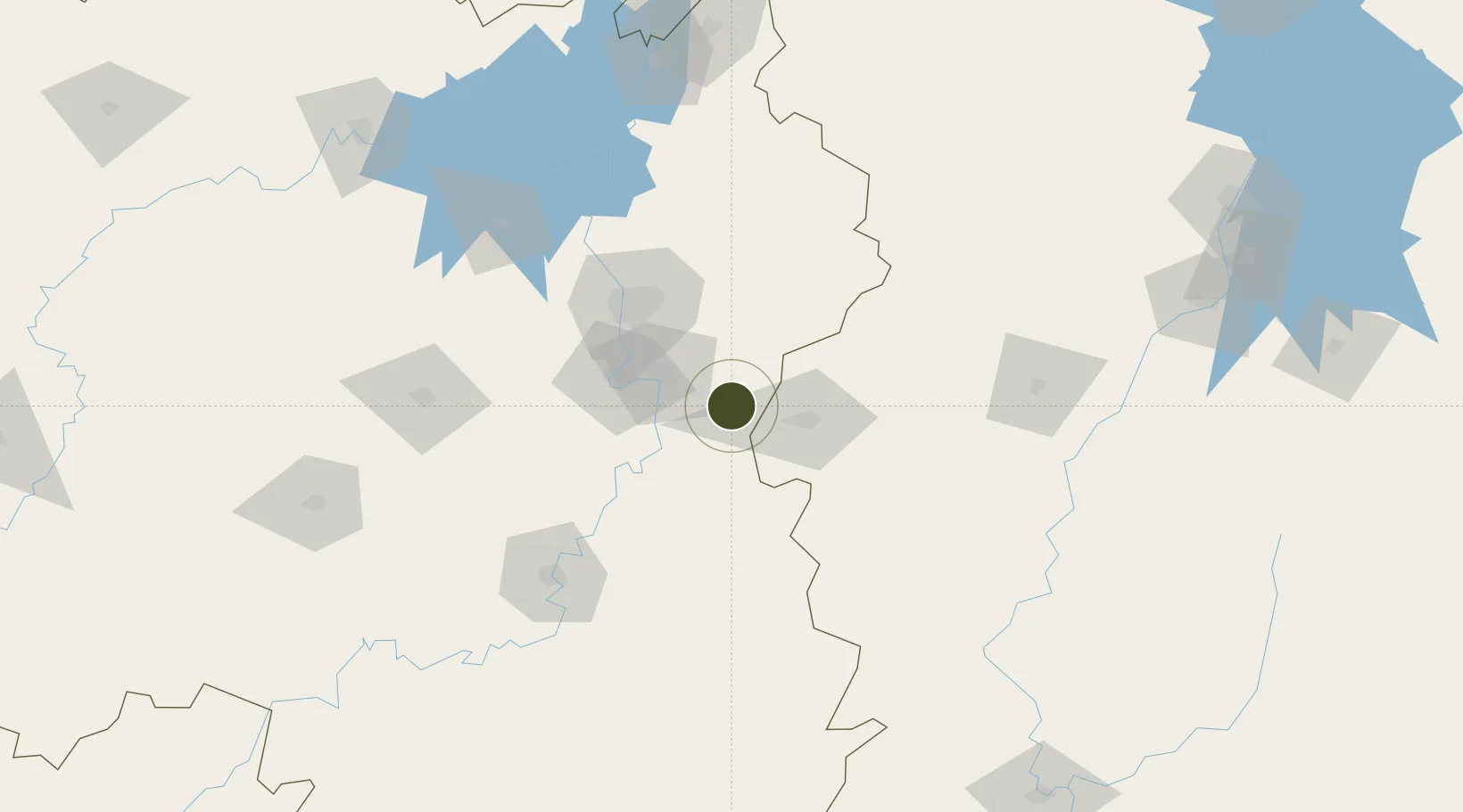
27.7196°, 113.4713°
6,500 ha
Zone area
328.0 km
Nearest port
57.8 km
Nearest airport

Gateway access

Nearest neighbours — logibook spatial index (haversine) over the source coordinates

Zone profile

Zone type
Export Processing Zone
Open Zone Map
Region
Hunan
Open Zone Map
Status
Active
Open Zone Map
Management
Public
Open Zone Map
Operator
Administrative Committee of Liling Economic Development Zone
Open Zone Map
Legal framework
Hunan Liling Economic Development Zone is a provincial level development zone approved in 2003. The Economic Development Zone is composed of three parts: "One Valley (Ceramic Valley of China), One City (Lujiang New Town), One Park (Dongfu Industrial Park)
Open Zone Map

Location

Location of ozm-1442
Natural Earth 10m (public domain) · Hunan · ozm-1442 · 27.72, 113.47GoogleOSMYandex

Nearby Logistics Neighbours

Ports
  1. 1Hankow328 km
  2. 2Guangzhou512 km
  3. 3Huangpu516 km
  4. 4Huangpuxingang519 km
  5. 5Huizhou566 km
Nearest neighbours — logibook spatial index (haversine) over the source coordinates
Airports
  1. 1Changsha Huanghua International Airport58 km
  2. 2Changsha Datuopu Airport / Changsha Air Base64 km
  3. 3Yichun Mingyueshan Airport83 km
  4. 4Ningxiang Airport90 km
  5. 5Leiyang Air Base138 km
Nearest neighbours — logibook spatial index (haversine) over the source coordinates
Cities
  1. 1Liling6 km
  2. 2Zhuzhou35 km
  3. 3Xiangtan58 km
  4. 4Changsha72 km
  5. 5Kaiyun81 km
Nearest neighbours — logibook spatial index (haversine) over the source coordinates
DatabookThe Record of Consolidated Knowledge
China beyond logistics?
Browse databook

All Sources

Trade ZonesOpen Zone Map
CC BY
Portsthe NGA World Port Index
Public domain (US gov)
AirportsOurAirports
Public domain
LocationsUN/LOCODE
UN/LOCODE — free
← China trade zones