Diversified Zone · China

Xiangtan Tianyi Economic Development Zone Active
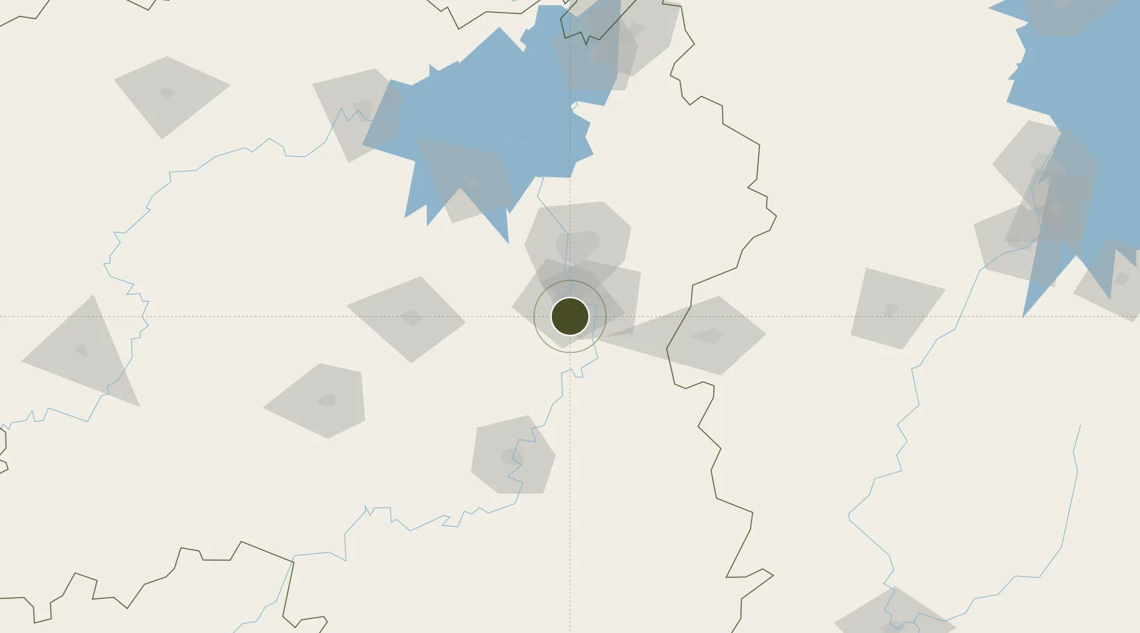
27.7720°, 112.9664°
9,900 ha
Zone area
337.7 km
Nearest port
33.0 km
Nearest airport

Gateway access

Nearest neighbours — logibook spatial index (haversine) over the source coordinates

Zone profile

Zone type
Diversified Zone
Open Zone Map
Region
Hunan
Open Zone Map
Status
Active
Open Zone Map
Management
Public
Open Zone Map
Operator
Management Commitiee
Open Zone Map
Legal framework
Approved by the State Council
Open Zone Map

Location

Location of ozm-994
Natural Earth 10m (public domain) · Hunan · ozm-994 · 27.77, 112.97GoogleOSMYandex

Nearby Logistics Neighbours

Ports
  1. 1Hankow338 km
  2. 2Guangzhou518 km
  3. 3Huangpu523 km
  4. 4Huangpuxingang528 km
  5. 5Huizhou583 km
Nearest neighbours — logibook spatial index (haversine) over the source coordinates
Airports
  1. 1Changsha Datuopu Airport / Changsha Air Base33 km
  2. 2Ningxiang Airport43 km
  3. 3Changsha Huanghua International Airport53 km
  4. 4Hengyang Nanyue Airport122 km
  5. 5Yichun Mingyueshan Airport132 km
Nearest neighbours — logibook spatial index (haversine) over the source coordinates
Cities
  1. 1Xiangtan11 km
  2. 2Zhuzhou20 km
  3. 3Changsha48 km
  4. 4Shaoshan50 km
  5. 5Liling52 km
Nearest neighbours — logibook spatial index (haversine) over the source coordinates
Trade Zones
  1. 1Hetang Industrial Concentration Zone26 km
  2. 2Muyun Economic Development Zone29 km
  3. 3Tianxin Economic Development Zone34 km
  4. 4Yuelu Industrial Concentration Zone41 km
  5. 5Shaoshan High-tech Industrial Development Zone43 km
Nearest neighbours — logibook spatial index (haversine) over the source coordinates
DatabookThe Record of Consolidated Knowledge
China beyond logistics?
Browse databook

All Sources

Trade ZonesOpen Zone Map
CC BY
Portsthe NGA World Port Index
Public domain (US gov)
AirportsOurAirports
Public domain
LocationsUN/LOCODE
UN/LOCODE — free
← China trade zones