Medium airport · China

Changsha Datuopu Airport / Changsha Air BaseCN-0055
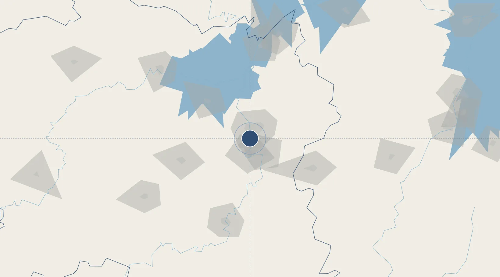
28.0685°, 112.9573°
170 ft
Elevation

Runway & Layout

Airport Specifications

ICAO code
ZGCS
OurAirports
Airport class
Medium airport
OurAirports
Scheduled service
No
OurAirports
Served city
Changsha (Tianxin)
OurAirports

Location

Location of CN-0055
Natural Earth 10m (public domain) · Hunan · CN-0055 · 28.07, 112.96GoogleOSMYandex

Nearby Logistics Neighbours

Airports
  1. 1Changsha Huanghua International Airport29 km
  2. 2Ningxiang Airport36 km
  3. 3Yichun Mingyueshan Airport136 km
  4. 4Yueyang Sanhe Airport142 km
  5. 5Hengyang Nanyue Airport153 km
Nearest neighbours — logibook spatial index (haversine) over the source coordinates
Cities
  1. 1Changsha15 km
  2. 2Xiangtan25 km
  3. 3Zhuzhou31 km
  4. 4Shaoshan50 km
  5. 5Liling68 km
Nearest neighbours — logibook spatial index (haversine) over the source coordinates
Ports
  1. 1Hankow308 km
  2. 2Guangzhou551 km
  3. 3Huangpu556 km
  4. 4Huangpuxingang561 km
  5. 5Huizhou615 km
Nearest neighbours — logibook spatial index (haversine) over the source coordinates
Trade Zones
  1. 1Muyun Economic Development Zone5 km
  2. 2Tianxin Economic Development Zone8 km
  3. 3Yuelu Industrial Concentration Zone9 km
  4. 4Hexi High-Tech Industrial Develoment Zone18 km
  5. 5Xiangtan Tianyi Economic Development Zone33 km
Nearest neighbours — logibook spatial index (haversine) over the source coordinates
DatabookThe Record of Consolidated Knowledge
China beyond logistics?
Browse databook

All Sources

AirportsOurAirports
Public domain
Portsthe NGA World Port Index
Public domain (US gov)
LocationsUN/LOCODE
UN/LOCODE — free
Trade Zonesthe World Bank SEZ database
CC BY 4.0
Trade ZonesOpen Zone Map
CC BY
← China airports