Export Processing Zone · China

Liuyang High-tech Industrial Development Zone Active
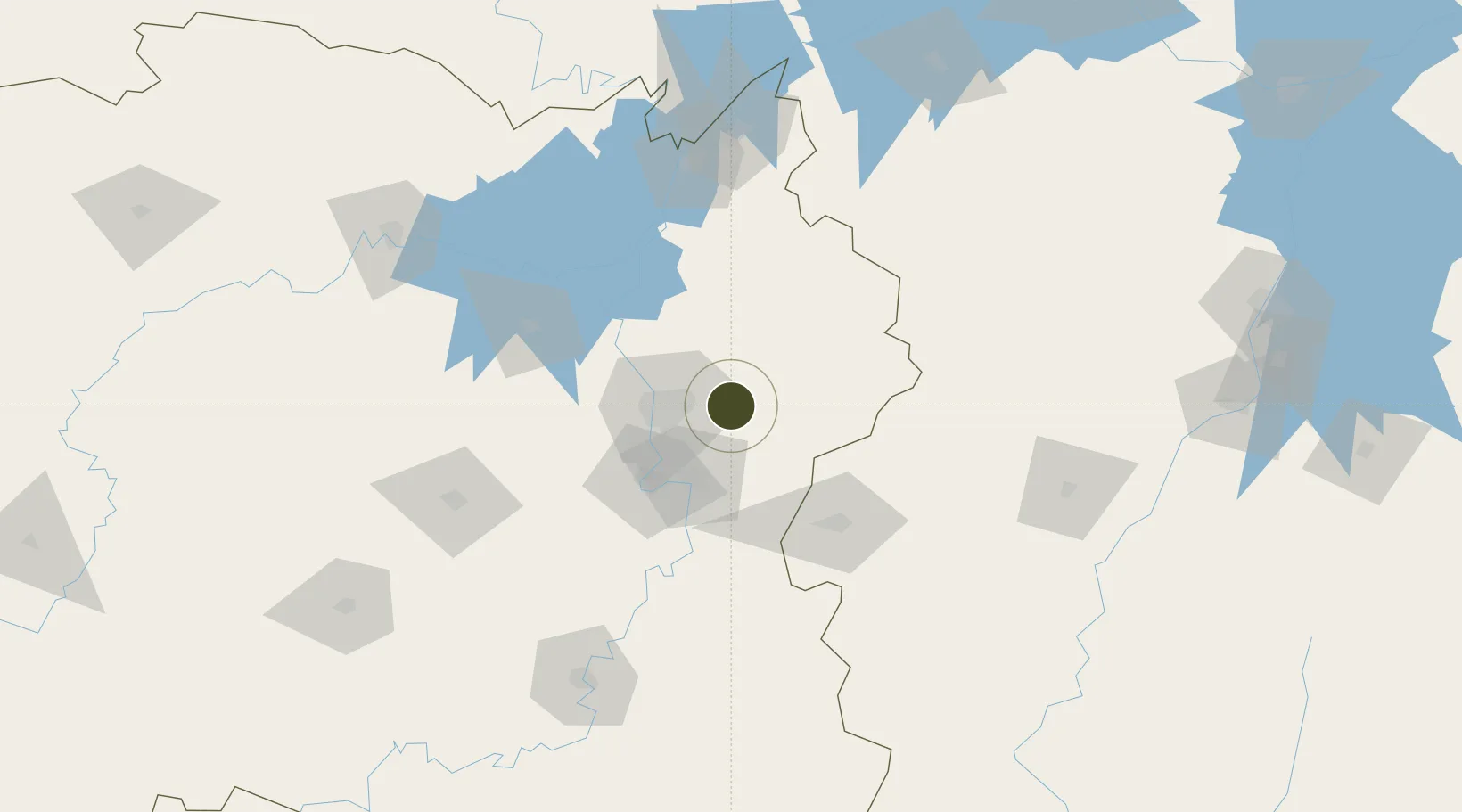
28.2130°, 113.3214°
1,270 ha
Zone area
279.6 km
Nearest port
10.3 km
Nearest airport

Gateway access

Nearest neighbours — logibook spatial index (haversine) over the source coordinates

Zone profile

Zone type
Export Processing Zone
Open Zone Map
Region
Hunan
Open Zone Map
Status
Active
Open Zone Map
Management
Public
Open Zone Map
Operator
Management Committee of Liuyang High-tech Industrial Development Zone
Open Zone Map
Legal framework
Established in 2003
Open Zone Map

Location

Location of ozm-1294
Natural Earth 10m (public domain) · Hunan · ozm-1294 · 28.21, 113.32GoogleOSMYandex

Nearby Logistics Neighbours

Ports
  1. 1Hankow280 km
  2. 2Guangzhou567 km
  3. 3Huangpu571 km
  4. 4Huangpuxingang574 km
  5. 5Zhangzhou621 km
Nearest neighbours — logibook spatial index (haversine) over the source coordinates
Airports
  1. 1Changsha Huanghua International Airport10 km
  2. 2Changsha Datuopu Airport / Changsha Air Base39 km
  3. 3Ningxiang Airport75 km
  4. 4Yichun Mingyueshan Airport107 km
  5. 5Yueyang Sanhe Airport122 km
Nearest neighbours — logibook spatial index (haversine) over the source coordinates
Cities
  1. 1Changsha33 km
  2. 2Zhuzhou44 km
  3. 3Xiangtan58 km
  4. 4Liling63 km
  5. 5Shaoshan89 km
Nearest neighbours — logibook spatial index (haversine) over the source coordinates
Trade Zones
  1. 1Tianxin Economic Development Zone32 km
  2. 2Muyun Economic Development Zone38 km
  3. 3Hetang Industrial Concentration Zone40 km
  4. 4Hexi High-Tech Industrial Develoment Zone41 km
  5. 5Yuelu Industrial Concentration Zone42 km
Nearest neighbours — logibook spatial index (haversine) over the source coordinates
DatabookThe Record of Consolidated Knowledge
China beyond logistics?
Browse databook

All Sources

Trade ZonesOpen Zone Map
CC BY
Portsthe NGA World Port Index
Public domain (US gov)
AirportsOurAirports
Public domain
LocationsUN/LOCODE
UN/LOCODE — free
← China trade zones