Transport Functions
Multimodal
Hub Profile
Place type
District seat
Region
Hunan
Time zone
Asia/Shanghai
Elevation
55 m
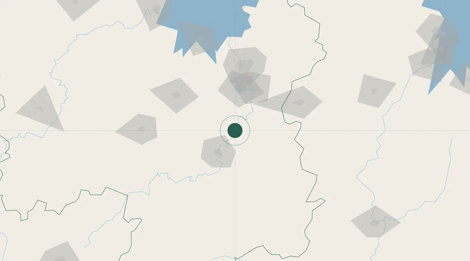
Location
Nearby Logistics Neighbours
Ports
- 1Hankow397 km
- 2Guangzhou459 km
- 3Huangpu465 km
- 4Huangpuxingang470 km
- 5Huizhou529 km
Airports
DatabookThe Record of Consolidated Knowledge
China beyond logistics?