Export Processing Zone · China
Zhaohuaiji Economic Cooperation Zone Active
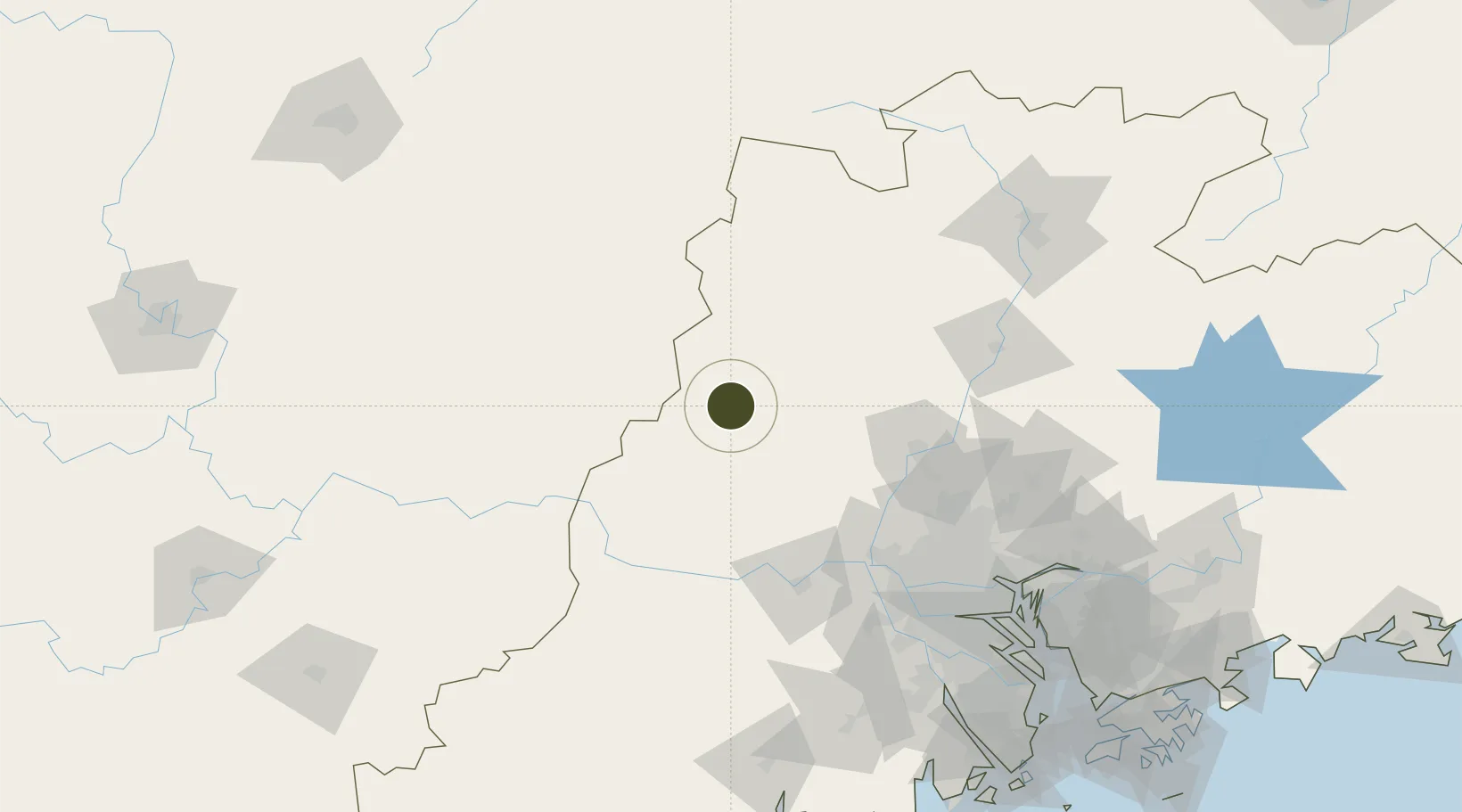
23.9119°, 112.1417°
5,300 ha
Zone area
142.2 km
Nearest port
120.8 km
Nearest airport
Gateway access
Zone profile
Zone type
Export Processing Zone
Region
Guangdong
Status
Active
Management
Public
Operator
Guangfo Zhao (Huaiji) Economic Cooperation Zone Management Committee
Legal framework
"Guangfo Zhao (Huaiji) Economic Cooperation Zone Development Master Plan (2013-2030)"
Location
Nearby Logistics Neighbours
Ports
- 1Guangzhou142 km
- 2Huangpu159 km
- 3Huangpuxingang168 km
- 4Zhuhai238 km
- 5Shekou239 km
Airports
- 1Wuzhou Xijiang Airport121 km
- 2Guangzhou Baiyun International Airport131 km
- 3Foshan Shadi Airport132 km
- 4Shaoguan Danxia Airport176 km
- 5Chenzhou Beihu Airport217 km
Cities
- 1Changan25 km
- 2Xiangang77 km
- 3Jiangkou83 km
- 4Qingyuan92 km
- 5Nanjiangkou95 km
Trade Zones
DatabookThe Record of Consolidated Knowledge
China beyond logistics?