UN/LOCODE hub · China
CNQGY

Qingyuan

23.6924°, 113.0145°
1,738,424
Population
1
Transport functions

Transport Functions

Port
UN/LOCODE

Hub Profile

Place type
Provincial seat
GeoNames
Region
Guangdong
GeoNames
Population
1,738,424
GeoNames
Time zone
Asia/Shanghai
GeoNames
Elevation
11 m
GeoNames
Logistics facilities
3
UN/LOCODE

Location

Location of CNQGY
Natural Earth 10m (public domain) · Guangdong · CNQGY · 23.69, 113.01GoogleOSMYandex

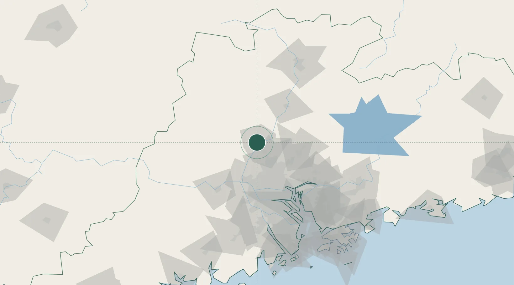
Nearby Logistics Neighbours

Cities
  1. 1Huadu Pt43 km
  2. 2Xiangang47 km
  3. 3Zhuliao49 km
  4. 4Xiniu52 km
  5. 5Mafang56 km
Nearest neighbours — logibook spatial index (haversine) over the source coordinates
Ports
  1. 1Guangzhou68 km
  2. 2Huangpu79 km
  3. 3Huangpuxingang87 km
  4. 4Shekou162 km
  5. 5Zhuhai172 km
Nearest neighbours — logibook spatial index (haversine) over the source coordinates
Airports
  1. 1Guangzhou Baiyun International Airport44 km
  2. 2Foshan Shadi Airport68 km
  3. 3Shenzhen Bao'an International Airport142 km
  4. 4Shaoguan Danxia Airport149 km
  5. 5Huizhou Pingtan Airport177 km
Nearest neighbours — logibook spatial index (haversine) over the source coordinates
Trade Zones
  1. 1Huadu Economic Development Zone39 km
  2. 2Sanshui Industrial Park47 km
  3. 3Zhaoqing Industrial Park47 km
  4. 4Baiyun Industrial Park51 km
  5. 5Longhu Industrial Park53 km
Nearest neighbours — logibook spatial index (haversine) over the source coordinates
DatabookThe Record of Consolidated Knowledge
China beyond logistics?
Browse databook

All Sources

LocationsUN/LOCODE
UN/LOCODE — free
LocationsGeoNames
CC BY 4.0
Portsthe NGA World Port Index
Public domain (US gov)
AirportsOurAirports
Public domain
Trade Zonesthe World Bank SEZ database
CC BY 4.0
Trade ZonesOpen Zone Map
CC BY
← China locations