Diversified Zone · China
Guangdong-Guizhou County Economic and Industrial Cooperation Demonstration Zone Active
24.0097°, 111.7389°
511 ha
Zone area
181.8 km
Nearest port
94.2 km
Nearest airport
Gateway access
Zone profile
Zone type
Diversified Zone
Region
Guangxi
Status
Active
Management
Public
Operator
Guangxi Dongrong Industrial Park Management Committee
Legal framework
Guangxi Provincial Committee of the Communist Party of China, Guangxi Provincial People's Government: Decision on Accelerating the Construction of a Modern Industrial System (July 27, 2020), Several Opinions of the General Office of the State Council on P
Location
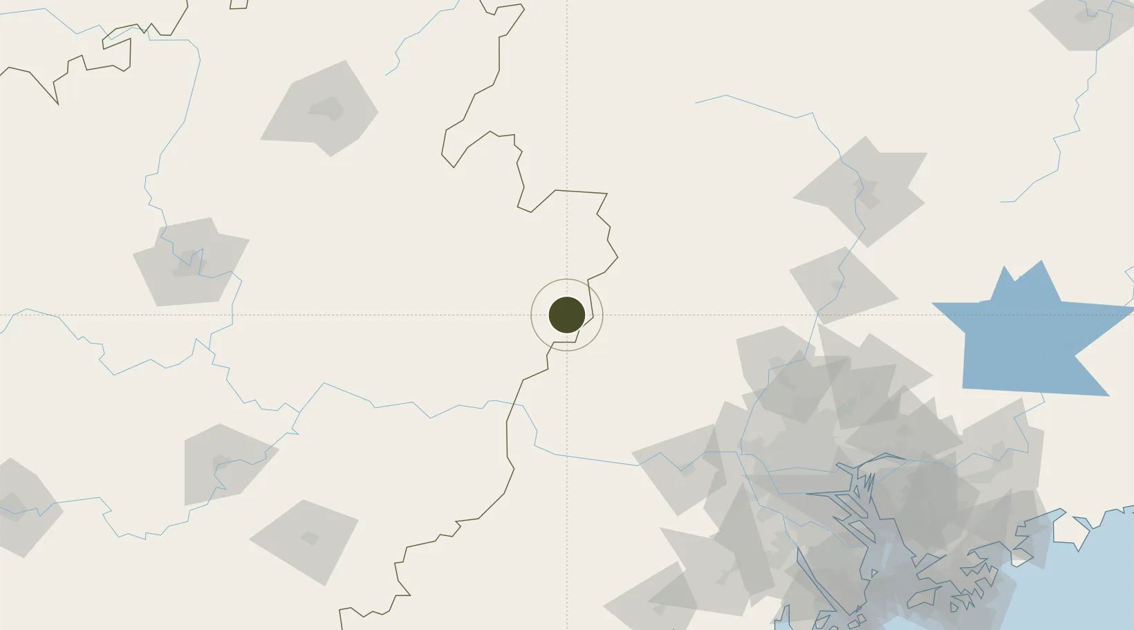
Nearby Logistics Neighbours
Ports
- 1Guangzhou182 km
- 2Huangpu200 km
- 3Huangpuxingang209 km
- 4Zhuhai273 km
- 5Macau276 km
Airports
- 1Wuzhou Xijiang Airport94 km
- 2Foshan Shadi Airport171 km
- 3Guangzhou Baiyun International Airport173 km
- 4Guiping Mengxu Air Base192 km
- 5Shaoguan Danxia Airport201 km
Cities
- 1Changan22 km
- 2Jiangkou67 km
- 3Zhongshan72 km
- 4Cangwu73 km
- 5Nanjiangkou100 km
DatabookThe Record of Consolidated Knowledge
China beyond logistics?