Large airport · China

Lanzhou Zhongchuan International AirportZLLL
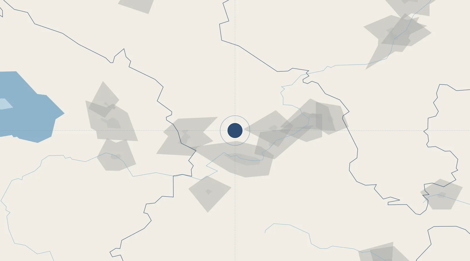
36.5152°, 103.6200°
13,123 ft
Longest runway
3
Runways
6,388 ft
Elevation

Runway & Layout

Lanzhou Zhongchuan International Airport runway & taxiway layout
Runway & taxiway layout — OpenStreetMap (ODbL) / OurAirports

Radio Frequencies

TWR
118.1 MHz
LANZHOU TWR
OurAirports

Navaids

DJC VOR-DME Wangjiachuan 115.20 MHz
DNC VOR-DME Lanzhou 114.30 MHz
DZH VOR Zhonghe 116.00 MHz
OurAirports

Runways · 3

RunwayDimensions SurfaceTrue headingLit
01/19 13,123 × 148ft ASPH
18L/36R 13,123 × 148ft Asphalt 177°
18R/36L 11,811 × 148ft ASPH
OurAirports

Airport Specifications

IATA code
LHW
OurAirports
ICAO code
ZLLL
OurAirports
Airport class
Large airport
OurAirports
Scheduled service
Yes
OurAirports
Runway surface
ASPH
OurAirports
Served city
Lanzhou (Yongdeng)
OurAirports

Location

Location of ZLLL
Natural Earth 10m (public domain) · Gansu · ZLLL · 36.52, 103.62GoogleOSMYandex

Nearby Logistics Neighbours

Airports
  1. 1Lanzhou Air Base85 km
  2. 2Lintao Air Base136 km
  3. 3Xining Caojiabao International Airport141 km
  4. 4Zhongwei Shapotou Airport180 km
  5. 5Wuwei Air Base189 km
Nearest neighbours — logibook spatial index (haversine) over the source coordinates
Cities
  1. 1Gaolan36 km
  2. 2Bayin52 km
  3. 3Lanzhou54 km
  4. 4Dingxi138 km
  5. 5Qiaotou177 km
Nearest neighbours — logibook spatial index (haversine) over the source coordinates
Ports
  1. 1Hankow1187 km
  2. 2Tianjin Xin Gang1278 km
  3. 3Guangzhou1753 km
  4. 4Huangpu1765 km
  5. 5Huangpuxingang1773 km
Nearest neighbours — logibook spatial index (haversine) over the source coordinates
Trade Zones
  1. 1Gaolan Sanchuankou Industrial Park30 km
  2. 2Lanzhou Xigu New City Industrial Park40 km
  3. 3Minhe Industrial Park64 km
  4. 4Lanzhou Yuzhong Heping Industrial Park64 km
  5. 5Lintao Economic Development Zone, Gansu84 km
Nearest neighbours — logibook spatial index (haversine) over the source coordinates
DatabookThe Record of Consolidated Knowledge
China beyond logistics?
Browse databook

All Sources

AirportsOurAirports
Public domain
Portsthe NGA World Port Index
Public domain (US gov)
LocationsUN/LOCODE
UN/LOCODE — free
Trade Zonesthe World Bank SEZ database
CC BY 4.0
Trade ZonesOpen Zone Map
CC BY
InfrastructureOpenStreetMap
ODbL 1.0
← China airports