Export Processing Zone · China

Lanzhou Yuzhong Heping Industrial Park Active
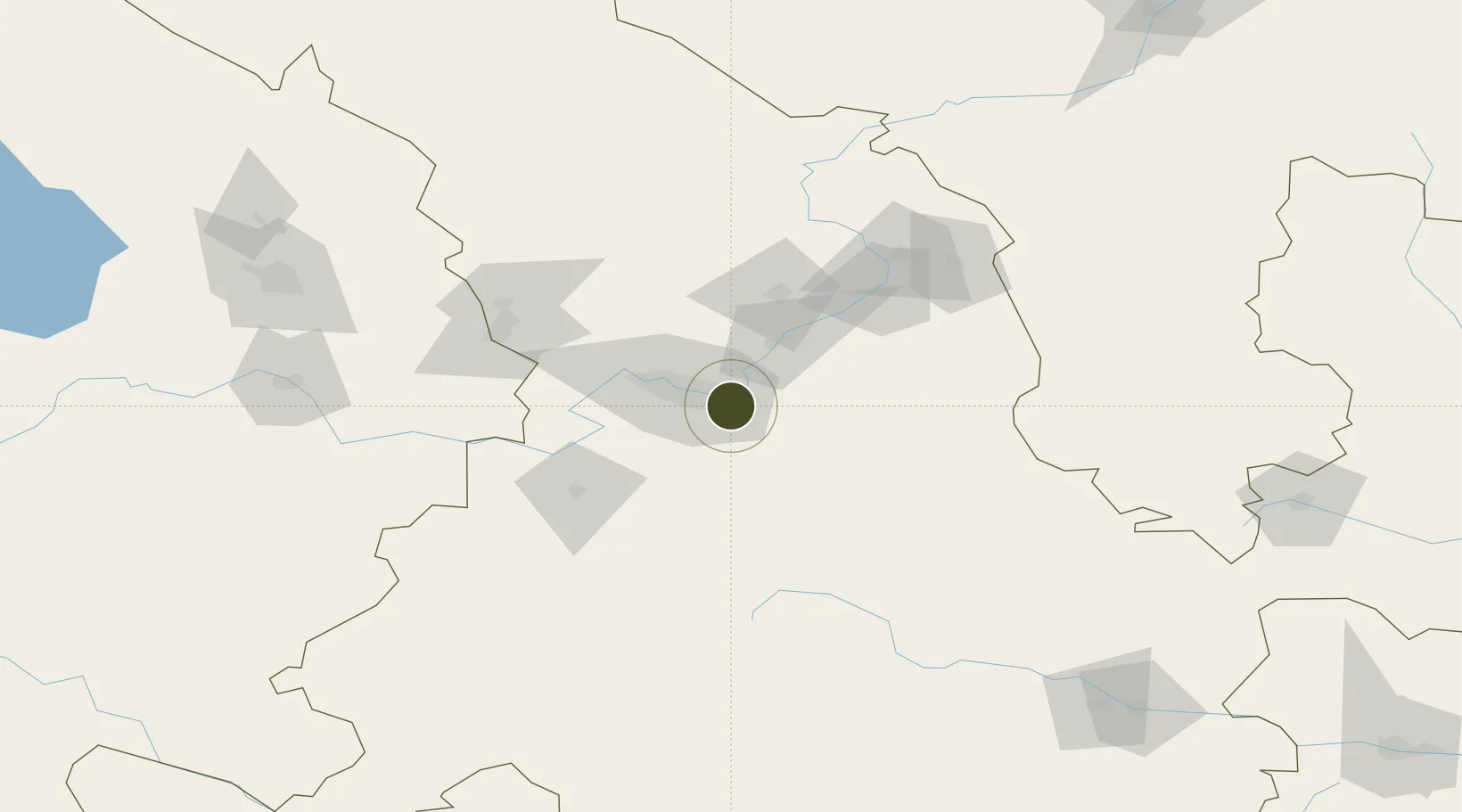
36.0103°, 103.9648°
500 ha
Zone area
1,132.0 km
Nearest port
25.0 km
Nearest airport

Gateway access

Nearest neighbours — logibook spatial index (haversine) over the source coordinates

Zone profile

Zone type
Export Processing Zone
Open Zone Map
Region
Gansu
Open Zone Map
Status
Active
Open Zone Map
Management
Public
Open Zone Map
Operator
Working Committee of Lanzhou Yuzhong Heping Industrial Park
Open Zone Map
Legal framework
Demonstration Report on The Modification of Land Use Nature of Controlled Detailed Planning Of Wolongchuan Industrial Park in Lanzhou Yuzhong Peace Industrial Park The controlled detailed planning of lanzhou downtown area and the local modification of the
Open Zone Map

Location

Location of ozm-1169
Natural Earth 10m (public domain) · Gansu · ozm-1169 · 36.01, 103.96GoogleOSMYandex

Nearby Logistics Neighbours

Ports
  1. 1Hankow1132 km
  2. 2Tianjin Xin Gang1266 km
  3. 3Guangzhou1689 km
  4. 4Huangpu1701 km
  5. 5Huangpuxingang1709 km
Nearest neighbours — logibook spatial index (haversine) over the source coordinates
Airports
  1. 1Lanzhou Air Base25 km
  2. 2Lanzhou Zhongchuan International Airport64 km
  3. 3Lintao Air Base79 km
  4. 4Gannan Xiahe Airport180 km
  5. 5Xining Caojiabao International Airport182 km
Nearest neighbours — logibook spatial index (haversine) over the source coordinates
Cities
  1. 1Lanzhou12 km
  2. 2Gaolan34 km
  3. 3Bayin64 km
  4. 4Dingxi77 km
  5. 5Tianshui226 km
Nearest neighbours — logibook spatial index (haversine) over the source coordinates
DatabookThe Record of Consolidated Knowledge
China beyond logistics?
Browse databook

All Sources

Trade ZonesOpen Zone Map
CC BY
Portsthe NGA World Port Index
Public domain (US gov)
AirportsOurAirports
Public domain
LocationsUN/LOCODE
UN/LOCODE — free
← China trade zones