Export Processing Zone · China
Huining Industrial Concentration Zone Active
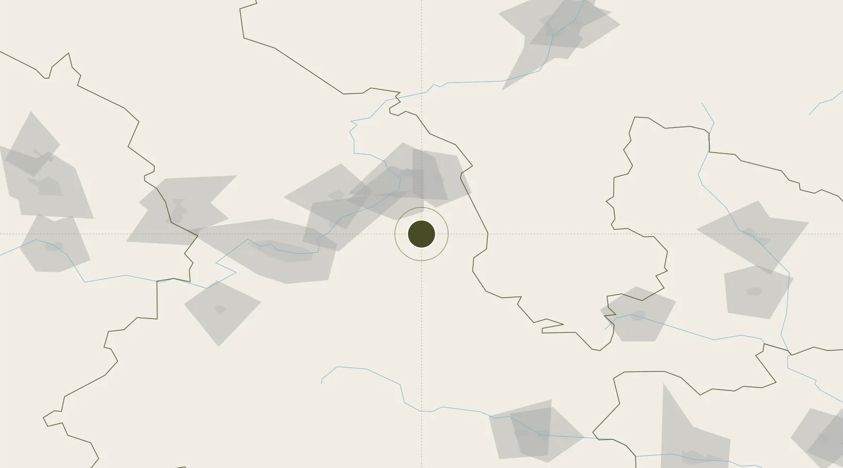
36.2303°, 104.8972°
1,000 ha
Zone area
1,073.0 km
Nearest port
70.2 km
Nearest airport
Gateway access
Zone profile
Zone type
Export Processing Zone
Region
Gansu
Status
Active
Management
Public
Operator
Working Committee of Huining Industrial Concentration Zone
Legal framework
Implementation Opinions on Further Strengthening and Improving The Work of Investment Attraction, And Measures for 2020 Target and Task Decomposition and Assessment of Investment Attraction
Location
Nearby Logistics Neighbours
Ports
- 1Hankow1073 km
- 2Tianjin Xin Gang1178 km
- 3Tangshan (Jingtang)1284 km
- 4Lanshan1312 km
- 5Rizhao1325 km
Airports
- 1Lanzhou Air Base70 km
- 2Lanzhou Zhongchuan International Airport119 km
- 3Guyuan Liupanshan Airport120 km
- 4Lintao Air Base140 km
- 5Zhongwei Shapotou Airport151 km
DatabookThe Record of Consolidated Knowledge
China beyond logistics?