Export Processing Zone · China

Mengcheng Economic Development Zone Active
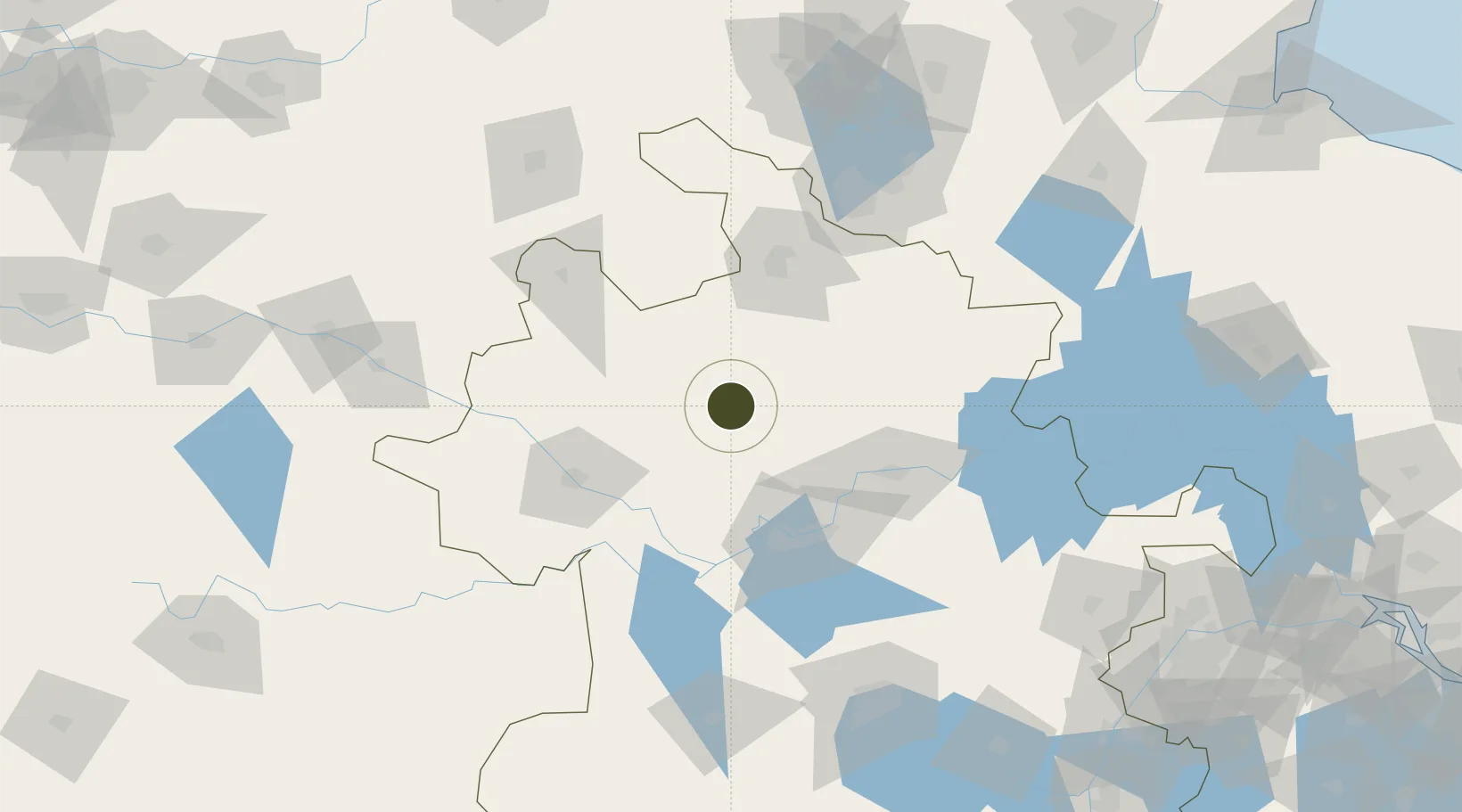
33.2601°, 116.5902°
2,379 ha
Zone area
240.8 km
Nearest port
44.8 km
Nearest airport

Gateway access

Nearest neighbours — logibook spatial index (haversine) over the source coordinates

Zone profile

Zone type
Export Processing Zone
Open Zone Map
Region
Anhui
Open Zone Map
Status
Active
Open Zone Map
Management
Public
Open Zone Map
Operator
Management Committee of Anhui Mengcheng Economic Development Zone
Open Zone Map
Legal framework
Unavailable
Open Zone Map

Location

Location of ozm-1369
Natural Earth 10m (public domain) · Anhui · ozm-1369 · 33.26, 116.59GoogleOSMYandex

Nearby Logistics Neighbours

Ports
  1. 1Nanjing241 km
  2. 2Yangzhou288 km
  3. 3Zhenjiang290 km
  4. 4Lianyungang310 km
  5. 5Gaogang324 km
Nearest neighbours — logibook spatial index (haversine) over the source coordinates
Airports
  1. 1Bengbu Tenghu Airport45 km
  2. 2Bengbu Tenghu Airport82 km
  3. 3Fuyang Xiguan Airport90 km
  4. 4Xuzhou Daguozhang Air Base124 km
  5. 5Xuzhou Guanyin International Airport126 km
Nearest neighbours — logibook spatial index (haversine) over the source coordinates
Cities
  1. 1Mengcheng4 km
  2. 2Zhaogang79 km
  3. 3Bengbu83 km
  4. 4Xiaoxian107 km
  5. 5Hefei168 km
Nearest neighbours — logibook spatial index (haversine) over the source coordinates
Trade Zones
  1. 1Guoyang Industrial Park47 km
  2. 2Guoyang Economic Development Zone47 km
  3. 3Fengtai Economic Development Zone64 km
  4. 4Huainan Modern Coal Chemical Industry Park70 km
  5. 5Huaiyuan Economic Development Zone72 km
Nearest neighbours — logibook spatial index (haversine) over the source coordinates
DatabookThe Record of Consolidated Knowledge
China beyond logistics?
Browse databook

All Sources

Trade ZonesOpen Zone Map
CC BY
Portsthe NGA World Port Index
Public domain (US gov)
AirportsOurAirports
Public domain
LocationsUN/LOCODE
UN/LOCODE — free
← China trade zones