Runway & Layout

Airport Specifications
IATA code
BFU
ICAO code
ZSBB
Airport class
Medium airport
Scheduled service
No
Served city
Bengbu
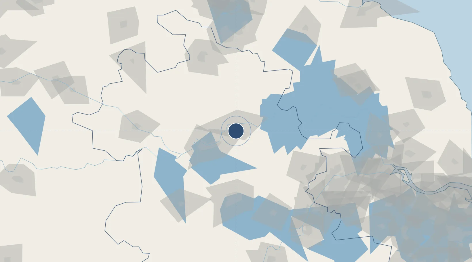
Location
Nearby Logistics Neighbours
Airports
- 1Bengbu Tenghu Airport43 km
- 2Hefei Xinqiao International Airport101 km
- 3Feidong Air Base109 km
- 4Xuzhou Guanyin International Airport136 km
- 5Fuyang Xiguan Airport148 km
Trade Zones
DatabookThe Record of Consolidated Knowledge
China beyond logistics?