Diversified Zone · China

Huaiyuan Economic Development Zone Active
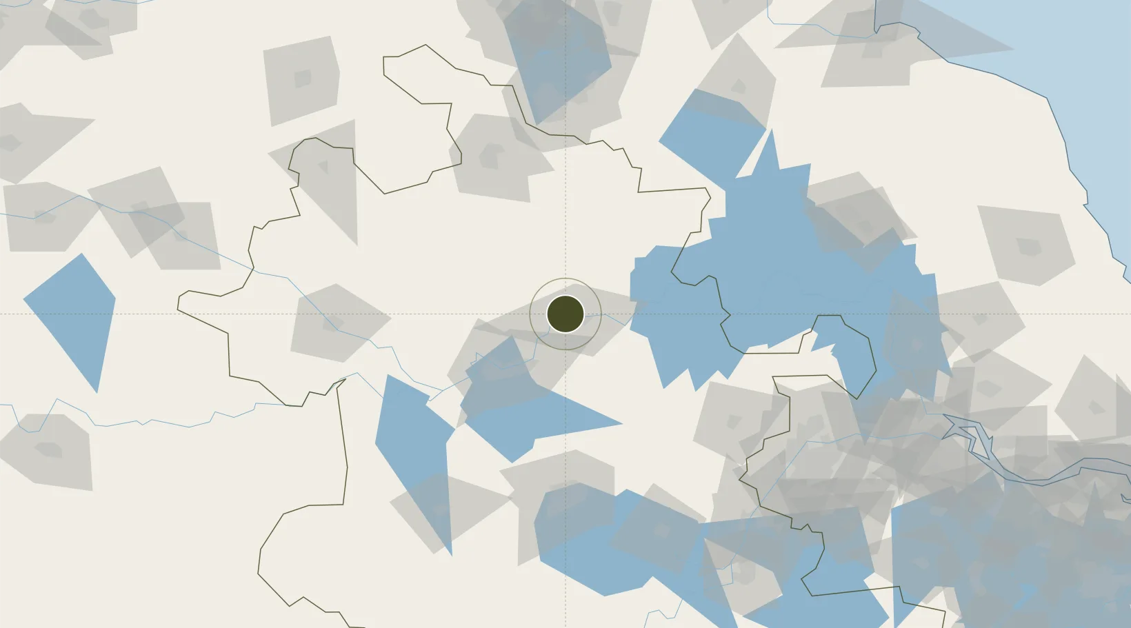
32.9744°, 117.2781°
930 ha
Zone area
169.9 km
Nearest port
14.6 km
Nearest airport

Gateway access

Nearest neighbours — logibook spatial index (haversine) over the source coordinates

Zone profile

Zone type
Diversified Zone
Open Zone Map
Region
Anhui
Open Zone Map
Status
Active
Open Zone Map
Management
Public
Open Zone Map
Operator
Huaiyuan Industrial Park Management Committee
Open Zone Map
Legal framework
Anhui Huaiyuan Economic Development Zone, established in 2003, is a provincial development zone approved by Anhui Provincial people's government
Open Zone Map

Location

Location of ozm-655
Natural Earth 10m (public domain) · Anhui · ozm-655 · 32.97, 117.28GoogleOSMYandex

Nearby Logistics Neighbours

Ports
  1. 1Nanjing170 km
  2. 2Yangzhou217 km
  3. 3Zhenjiang219 km
  4. 4Gaogang253 km
  5. 5Changzhou277 km
Nearest neighbours — logibook spatial index (haversine) over the source coordinates
Airports
  1. 1Bengbu Tenghu Airport15 km
  2. 2Bengbu Tenghu Airport30 km
  3. 3Hefei Xinqiao International Airport113 km
  4. 4Xuzhou Guanyin International Airport123 km
  5. 5Feidong Air Base124 km
Nearest neighbours — logibook spatial index (haversine) over the source coordinates
Cities
  1. 1Bengbu12 km
  2. 2Mengcheng75 km
  3. 3Zhaogang77 km
  4. 4Chuzhou122 km
  5. 5Hefei123 km
Nearest neighbours — logibook spatial index (haversine) over the source coordinates
Trade Zones
  1. 1Bengbu Industrial Park5 km
  2. 2Fengyang Industrial Park23 km
  3. 3Dingyuan Salt Chemical Industrial Park44 km
  4. 4Huainan Modern Coal Chemical Industry Park47 km
  5. 5Fengtai Economic Development Zone57 km
Nearest neighbours — logibook spatial index (haversine) over the source coordinates
DatabookThe Record of Consolidated Knowledge
China beyond logistics?
Browse databook

All Sources

Trade ZonesOpen Zone Map
CC BY
Portsthe NGA World Port Index
Public domain (US gov)
AirportsOurAirports
Public domain
LocationsUN/LOCODE
UN/LOCODE — free
← China trade zones