Transport Functions
Rail
Airport
Postal
Hub Profile
Place type
Regional capital
Region
Anhui
Population
5,050,000
Time zone
Asia/Shanghai
Elevation
24 m
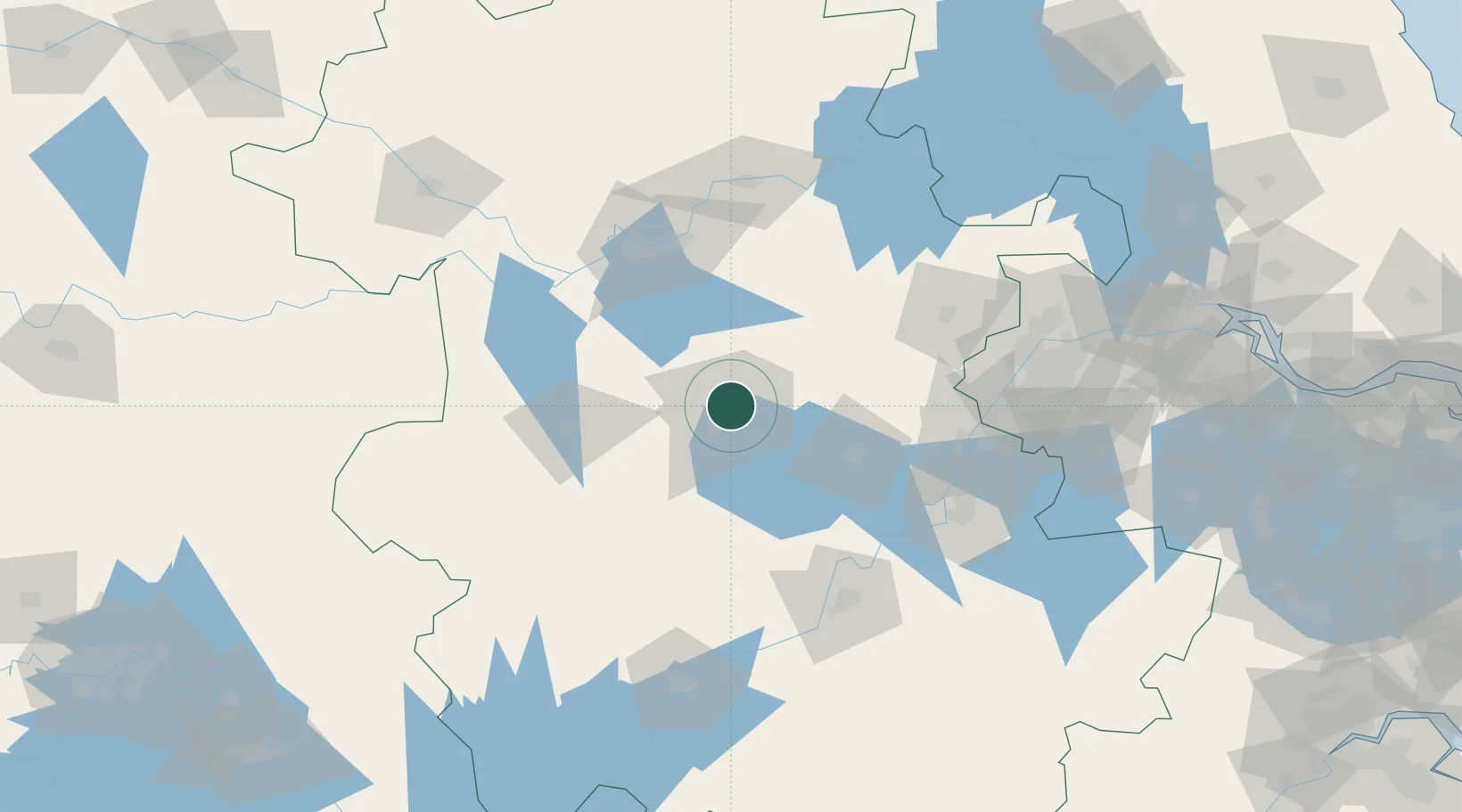
Location
Nearby Logistics Neighbours
Cities
- 1Chaohu61 km
- 2Quanjiao76 km
- 3Lu'an77 km
- 4Zhaogang98 km
- 5zhengpugang Pt107 km
Airports
DatabookThe Record of Consolidated Knowledge
China beyond logistics?