Export Processing Zone · China

Fengtai Economic Development Zone Active
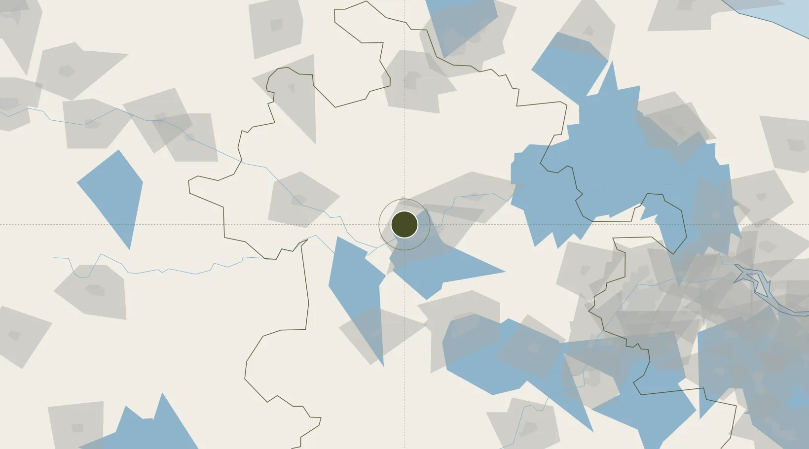
32.7037°, 116.7568°
760 ha
Zone area
199.4 km
Nearest port
55.1 km
Nearest airport

Gateway access

Nearest neighbours — logibook spatial index (haversine) over the source coordinates

Zone profile

Zone type
Export Processing Zone
Open Zone Map
Region
Anhui
Open Zone Map
Status
Active
Open Zone Map
Management
Public
Open Zone Map
Operator
Working Committee of Fengtai Economic Development Zone
Open Zone Map
Legal framework
Overall plan for the China (Anhui) Pilot Free Trade Zone
Open Zone Map

Location

Location of ozm-1217
Natural Earth 10m (public domain) · Anhui · ozm-1217 · 32.70, 116.76GoogleOSMYandex

Nearby Logistics Neighbours

Ports
  1. 1Nanjing199 km
  2. 2Yangzhou256 km
  3. 3Zhenjiang257 km
  4. 4Gaogang294 km
  5. 5Changzhou314 km
Nearest neighbours — logibook spatial index (haversine) over the source coordinates
Airports
  1. 1Bengbu Tenghu Airport55 km
  2. 2Bengbu Tenghu Airport59 km
  3. 3Hefei Xinqiao International Airport82 km
  4. 4Fuyang Xiguan Airport98 km
  5. 5Feidong Air Base122 km
Nearest neighbours — logibook spatial index (haversine) over the source coordinates
Cities
  1. 1Zhaogang21 km
  2. 2Bengbu63 km
  3. 3Mengcheng66 km
  4. 4Hefei105 km
  5. 5Lu'an111 km
Nearest neighbours — logibook spatial index (haversine) over the source coordinates
Trade Zones
  1. 1Huainan Modern Coal Chemical Industry Park14 km
  2. 2Industrial Park in Shou County14 km
  3. 3Huainan Industrial Park21 km
  4. 4Dingyuan Salt Chemical Industrial Park51 km
  5. 5Huaiyuan Economic Development Zone57 km
Nearest neighbours — logibook spatial index (haversine) over the source coordinates
DatabookThe Record of Consolidated Knowledge
China beyond logistics?
Browse databook

All Sources

Trade ZonesOpen Zone Map
CC BY
Portsthe NGA World Port Index
Public domain (US gov)
AirportsOurAirports
Public domain
LocationsUN/LOCODE
UN/LOCODE — free
← China trade zones