Transport Functions
Port
Road
Hub Profile
Place type
Populated place
Region
Henan
Time zone
Asia/Shanghai
Elevation
33 m
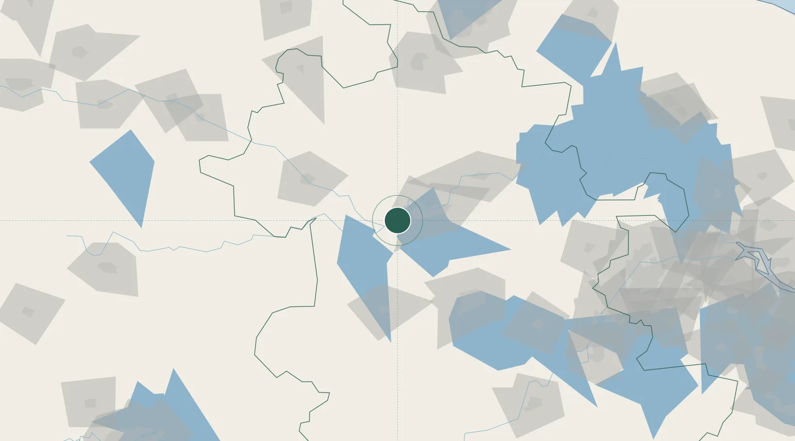
Location
Nearby Logistics Neighbours
Airports
- 1Hefei Xinqiao International Airport70 km
- 2Bengbu Tenghu Airport72 km
- 3Bengbu Tenghu Airport79 km
- 4Fuyang Xiguan Airport92 km
- 5Feidong Air Base120 km
DatabookThe Record of Consolidated Knowledge
China beyond logistics?