Transport Functions
Rail
Road
Hub Profile
Place type
Populated place
Region
Hunan
Time zone
Asia/Shanghai
Elevation
124 m
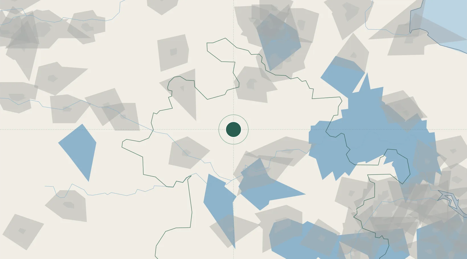
Location
Nearby Logistics Neighbours
Ports
- 1Nanjing244 km
- 2Yangzhou292 km
- 3Zhenjiang294 km
- 4Lianyungang313 km
- 5Gaogang327 km
Airports
- 1Bengbu Tenghu Airport49 km
- 2Bengbu Tenghu Airport86 km
- 3Fuyang Xiguan Airport87 km
- 4Xuzhou Daguozhang Air Base125 km
- 5Xuzhou Guanyin International Airport128 km
DatabookThe Record of Consolidated Knowledge
China beyond logistics?